


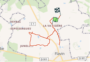

5,6 km | 8,2 km-effort


Gratisgps-wandelapplicatie
 SityTrail
IGN / Geografische instituten
SityTrail World
De wereld gaat voor u open
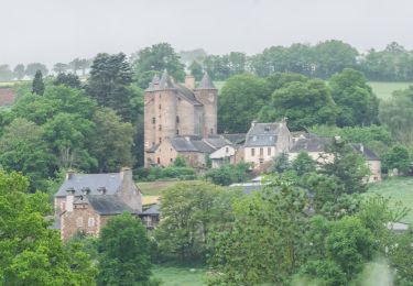
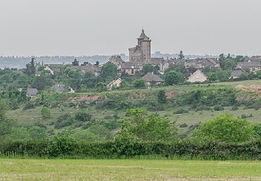
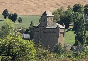
Tocht Paardrijden van 9,1 km beschikbaar op Occitanië, Aveyron, Flavin. Deze tocht wordt voorgesteld door 001182.014838d2acb247d89157d2c5ed3d3680.1752.
Te voet
Te voet
Te voet
Te voet

Te voet

Te voet
Te voet
Stappen
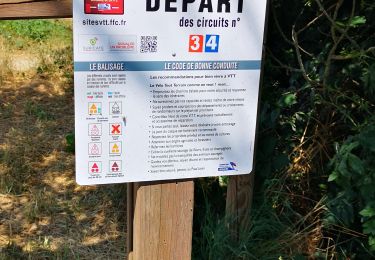
Mountainbike