

ILLE-SUR-TÊT CAZENOVE MERCREDI FAIT

MarcOBRECHT
Gebruiker

Lengte
7,7 km

Max. hoogte
174 m

Positief hoogteverschil
66 m

Km-Effort
8,6 km

Min. hoogte
131 m

Negatief hoogteverschil
66 m
Boucle
Ja
Datum van aanmaak :
2025-01-28 12:09:12.47
Laatste wijziging :
2025-01-28 14:22:52.169
2h13
Moeilijkheid : Gemakkelijk

Gratisgps-wandelapplicatie
Over ons
Tocht Stappen van 7,7 km beschikbaar op Occitanië, Pyrénées-Orientales, Ille-sur-Têt. Deze tocht wordt voorgesteld door MarcOBRECHT.
Beschrijving
Depuis parking des orgues
Par route le long de la Tet puis par route jusqu'à la chapelle.
Retour par route puis les long de la Tet
Plaatsbepaling
Land:
France
Regio :
Occitanië
Departement/Provincie :
Pyrénées-Orientales
Gemeente :
Ille-sur-Têt
Locatie:
Unknown
Vertrek:(Dec)
Vertrek:(UTM)
469092 ; 4725525 (31T) N.
Opmerkingen
Wandeltochten in de omgeving

ILLE TÊT 66 - PIC PEDROUS - CASESNOVES


Stappen
Medium
(10)
Ille-sur-Têt,
Occitanië,
Pyrénées-Orientales,
France

11 km | 15,3 km-effort
2h 22min
Ja
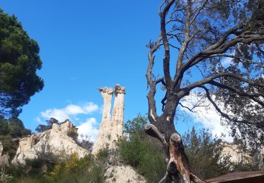
les Orgues - Ille-sur-Tet


Stappen
Heel gemakkelijk
(1)
Ille-sur-Têt,
Occitanië,
Pyrénées-Orientales,
France

2 km | 2,6 km-effort
1h 3min
Ja

Boucle du Pic Aubeill


Stappen
Gemakkelijk
(1)
Bélesta,
Occitanië,
Pyrénées-Orientales,
France

8 km | 10,9 km-effort
2h 24min
Ja
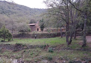
cerbère chapelle sa t père del bosc


Stappen
Moeilijk
Corbère-les-Cabanes,
Occitanië,
Pyrénées-Orientales,
France

9,9 km | 12,6 km-effort
2h 51min
Ja
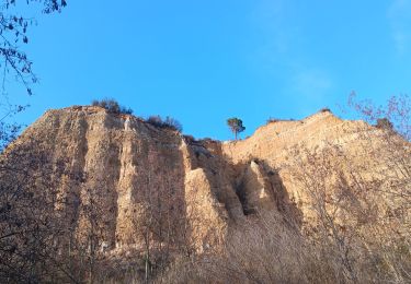
puig pedros


Stappen
Medium
Ille-sur-Têt,
Occitanië,
Pyrénées-Orientales,
France

11,7 km | 15,6 km-effort
3h 57min
Ja
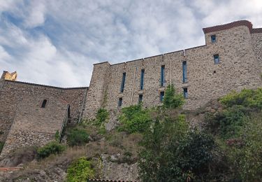
tour du pic aubeill


Stappen
Medium
Bélesta,
Occitanië,
Pyrénées-Orientales,
France

8,7 km | 12 km-effort
3h 45min
Ja
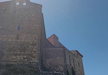
belesta bousillé par une fermeture du massif


Stappen
Medium
Bélesta,
Occitanië,
Pyrénées-Orientales,
France

4,7 km | 6,3 km-effort
1h 23min
Ja
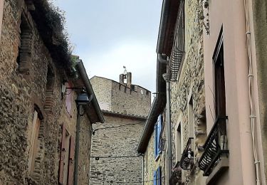
Ille st jules


Stappen
Moeilijk
Ille-sur-Têt,
Occitanië,
Pyrénées-Orientales,
France

11,2 km | 12,7 km-effort
3h 2min
Ja
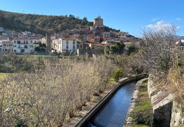
Bouleternere


Stappen
Medium
Bouleternère,
Occitanië,
Pyrénées-Orientales,
France

13,9 km | 20 km-effort
3h 52min
Ja


 SityTrail


