


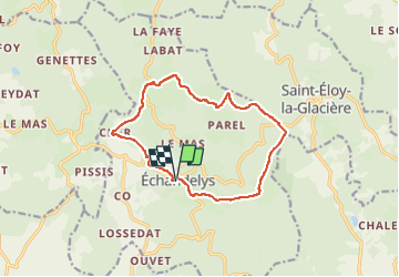

7,4 km | 10 km-effort

Gebruiker GUIDE


Gratisgps-wandelapplicatie
 SityTrail
IGN / Geografische instituten
SityTrail World
De wereld gaat voor u open
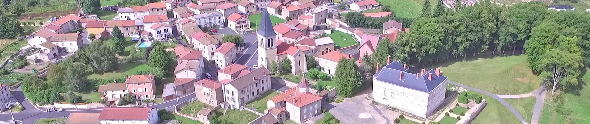
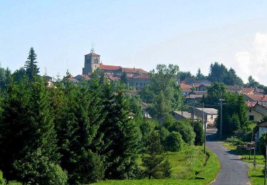
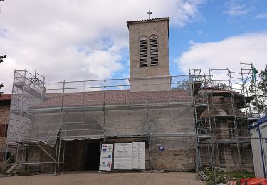
Tocht Stappen van 12,7 km beschikbaar op Auvergne-Rhône-Alpes, Puy-de-Dôme, Échandelys. Deze tocht wordt voorgesteld door jagarnier.
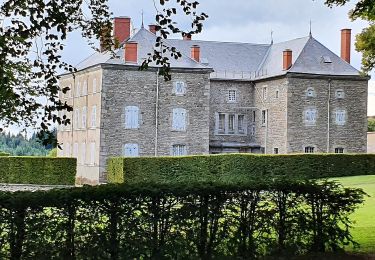
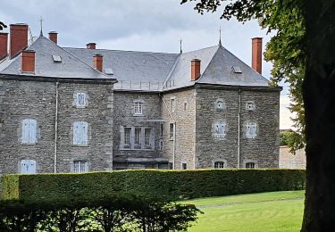
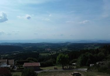
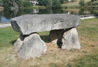
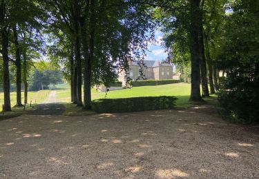
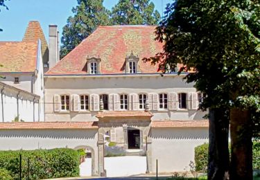
Belle petite boucle qui offre de magnifiques panoramas sur les volcans du Sancy et sur les monts du Livradois. On y découvre une ancienne voie romaine, le belvédère des Deux Frères au village d’Echandelys ainsi qu’une croix et un château (privé).

Te voet
Te voet
Te voet
Te voet
Stappen
Stappen

Stappen
Stappen
Te voet