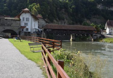
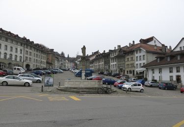
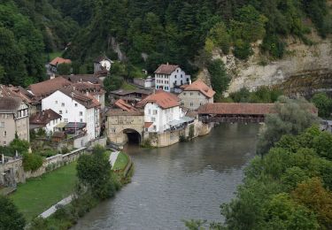
Tocht Andere activiteiten Hauterive (FR) - 301/Grangeneuve/bord Sarine-Abbaye/S - Photo
 nordicmarly
nordicmarly

Gebruiker

© OpenStreetMap contributors
Lengte
Lengte
7,5 km
Max. hoogte
Max. hoogte
654 m
Positief hoogteverschil
175 m
Km-Effort
Km-Effort  
9,8 km
Min. hoogte
Min. hoogte
575 m
Negatief hoogteverschil
177 m
Boucle
Boucle
Ja
Datum van aanmaak :
2014-12-10 00:00:00.0
Laatste wijziging :
2014-12-10 00:00:00.0

(0 Bericht)

Andere activiteiten
Andere activiteiten
--
Moeilijkheid : Onbekend

Scan deze QR-code om de tocht te openen in de SityTrail-applicatie

Gratisgps-wandelapplicatie

Logo SityTrail SityTrail

IGN / Geografische instituten

SityTrail uit de App Store downloaden SityTrail uit Google Play downloaden

Logo SityTrail SityTrail World

De wereld gaat voor u open

SityTrail uit de App Store downloaden SityTrail uit Google Play downloaden SityTrail op Huawei AppGallery downloaden

Over ons

Tocht Andere activiteiten van 7,5 km beschikbaar op Fribourg/Freiburg, District de la Sarine, Hauterive (FR). Deze tocht wordt voorgesteld door nordicmarly.

Beschrijving

Parking GRANGENEUVE
dir. Posieux par petit ch.
1 er ch. à gauche descendre
Rejoindre ch. puis à gauche (panneaux interdiction de circuler)
Ch. en bordure béton
Entre gros rochers
Prés d''en bas
Pt 587
Remonter à droite
Le Sac
Pt 639
Pt 634
La Tioleyre
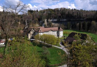
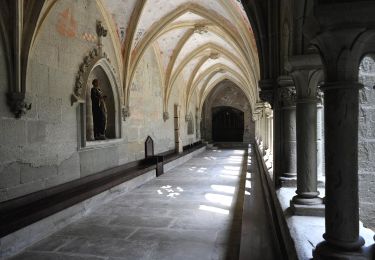
Dir. l''Abbaye
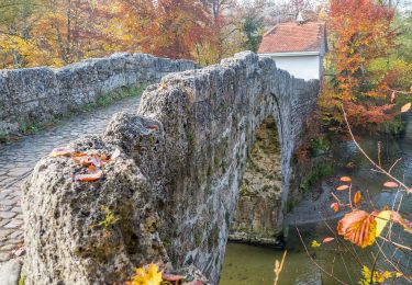
Petit pont La Souche
Retour par le petit pont
Parking Hauterive

Hoogteprofiel

Plaatsbepaling

Land:
Switzerland
Regio :
Fribourg/Freiburg
Departement/Provincie :
District de la Sarine
Gemeente :
Hauterive (FR)
Locatie:
Unknown
Vertrek:(Dec)
Vertrek:(UTM)
356311 ; 5180830 (32T) N.

Wandeltochten in de omgeving

Tocht Te voet Villars-sur-Glâne - Tour des trois rivières - Photo
Te voet
GUIDE+

Te voet

Gemakkelijk
Villars-sur-Glâne, Fribourg/Freiburg, District de la Sarine, Switzerland
5,1 km | 7,1 km-effort
1h 36min
Neen
Tocht Te voet Hauterive (FR) - Circuit Hauterive - Photo
Te voet
GUIDE+

Te voet

Gemakkelijk
Hauterive (FR), Fribourg/Freiburg, District de la Sarine, Switzerland
5 km | 6,7 km-effort
1h 31min
Neen
Tocht Te voet Hauterive (FR) - Hauterive - La Tuffière - Photo
Te voet
GUIDE+

Te voet

Gemakkelijk
Hauterive (FR), Fribourg/Freiburg, District de la Sarine, Switzerland
5 km | 6,6 km-effort
1h 30min
Neen
Tocht Te voet Matran - Matran - Noréaz - Photo
Te voet
GUIDE+

Te voet

Gemakkelijk
Matran, Fribourg/Freiburg, District de la Sarine, Switzerland
5,9 km | 7,2 km-effort
1h 38min
Neen
Tocht Te voet Hauterive (FR) - Circuit de La Tuffière - Photo
Te voet
GUIDE+

Te voet

Gemakkelijk
Hauterive (FR), Fribourg/Freiburg, District de la Sarine, Switzerland
6,2 km | 8,2 km-effort
1h 52min
Neen
Tocht Te voet Hauterive (FR) - Grangeneuve - La Tuffière - Photo
Te voet
GUIDE+

Te voet

Gemakkelijk
Hauterive (FR), Fribourg/Freiburg, District de la Sarine, Switzerland
5 km | 6,6 km-effort
1h 29min
Neen
Tocht Te voet Fribourg - Freiburg - Bourguillon - Schürmatt - Photo
Te voet
GUIDE+

Te voet

Gemakkelijk
Fribourg - Freiburg, Fribourg/Freiburg, District de la Sarine, Switzerland
3,9 km | 5,5 km-effort
1h 14min
Neen
Tocht Te voet Fribourg - Freiburg - Freiburg - Fribourg (Jura) - Photo
Te voet
GUIDE+

Te voet

Gemakkelijk
Fribourg - Freiburg, Fribourg/Freiburg, District de la Sarine, Switzerland
3,8 km | 5,5 km-effort
1h 15min
Neen
Tocht Te voet Fribourg - Freiburg - Freiburg / Fribourg Balm / La Palme - Maggenberg - Photo
Te voet
GUIDE+

Te voet

Gemakkelijk
Fribourg - Freiburg, Fribourg/Freiburg, District de la Sarine, Switzerland
4,5 km | 7 km-effort
1h 35min
Neen


Sluiten
Mijn abonnementen