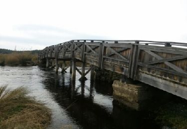
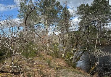
56 km | 62 km-effort
Arès 31.12
pierre.cognac@orange.fr
Gebruiker
Lengte
5,1 km
Max. hoogte
12 m
Positief hoogteverschil
31 m
Km-Effort
5,5 km
Min. hoogte
-1 m
Negatief hoogteverschil
31 m
Boucle
Ja
Datum van aanmaak :
2024-12-31 14:02:09.054
Laatste wijziging :
2024-12-31 15:32:19.767
1h29
Moeilijkheid : Gemakkelijk
Gratisgps-wandelapplicatie
Over ons
Tocht Stappen van 5,1 km beschikbaar op Nieuw-Aquitanië, Gironde, Arès. Deze tocht wordt voorgesteld door pierre.cognac@orange.fr.
Beschrijving
Rando
Plaatsbepaling
Land:
France
Regio :
Nieuw-Aquitanië
Departement/Provincie :
Gironde
Gemeente :
Arès
Locatie:
Unknown
Vertrek:(Dec)
Vertrek:(UTM)
648952 ; 4957626 (30T) N.
Opmerkingen
Wandeltochten in de omgeving
Les quinconces
Stappen
Heel gemakkelijk
(1)
Andernos-les-Bains,
Nieuw-Aquitanië,
Gironde,
France
7 km | 7,6 km-effort
2h 55min
Ja
les prés salés la teste de buch
Stappen
Heel gemakkelijk
(1)
Arès,
Nieuw-Aquitanië,
Gironde,
France
7,1 km | 7,5 km-effort
2h 37min
Ja
ANDERNOS Les Bains
Stappen
Heel gemakkelijk
(1)
Andernos-les-Bains,
Nieuw-Aquitanië,
Gironde,
France
7,6 km | 8 km-effort
3h 2min
Neen
de Ares à Sanguinet
Fiets
Gemakkelijk
Arès,
Nieuw-Aquitanië,
Gironde,
France
82 km | 90 km-effort
5h 8min
Neen
les près salés
Stappen
Medium
(1)
Andernos-les-Bains,
Nieuw-Aquitanië,
Gironde,
France
19,3 km | 21 km-effort
4h 28min
Ja
Arés
Stappen
Gemakkelijk
(1)
Andernos-les-Bains,
Nieuw-Aquitanië,
Gironde,
France
11,8 km | 12,8 km-effort
2h 0min
Ja
Lège Cap Ferret - le canal
Noords wandelen
Heel gemakkelijk
Lège-Cap-Ferret,
Nieuw-Aquitanië,
Gironde,
France
15,4 km | 16,4 km-effort
Onbekend
Ja