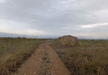
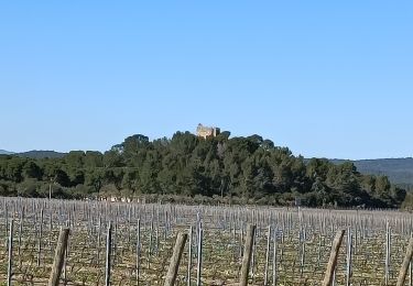
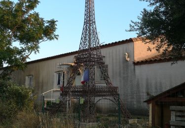
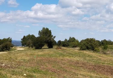
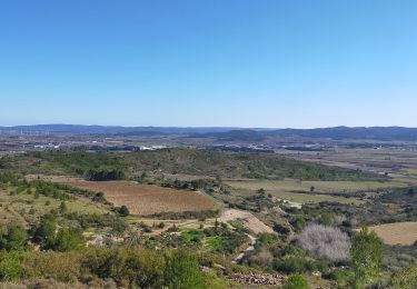
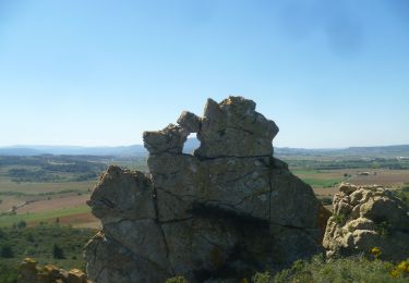
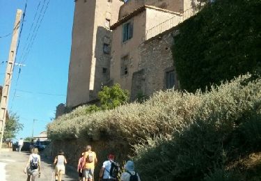
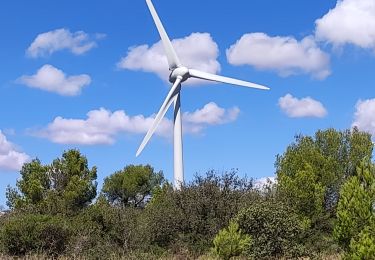
Tocht Stappen Lézignan-Corbières - La Pinède Lézignan Corbières  - Photo

La Pinède Lézignan Corbières

© OpenStreetMap contributors
Lengte
Lengte
9,6 km
Max. hoogte
Max. hoogte
152 m
Positief hoogteverschil
148 m
Km-Effort
Km-Effort  
11,6 km
Min. hoogte
Min. hoogte
49 m
Negatief hoogteverschil
148 m
Boucle
Boucle
Ja
Datum van aanmaak :
2024-12-01 14:56:30.403
Laatste wijziging :
2024-12-01 17:00:45.542

(0 Bericht)

Stappen
Stappen
2h03
Moeilijkheid : Medium

Scan deze QR-code om de tocht te openen in de SityTrail-applicatie

Gratisgps-wandelapplicatie

Logo SityTrail SityTrail

IGN / Geografische instituten

SityTrail uit de App Store downloaden SityTrail uit Google Play downloaden

Logo SityTrail SityTrail World

De wereld gaat voor u open

SityTrail uit de App Store downloaden SityTrail uit Google Play downloaden SityTrail op Huawei AppGallery downloaden

Over ons

Tocht Stappen van 9,6 km beschikbaar op Occitanië, Aude, Lézignan-Corbières. Deze tocht wordt voorgesteld door jacques delaporte.

Beschrijving

Belle petite randonnée pour un dimanche.
rien ne change depuis 2021 .
oui,il y a les motos CROSS désormais 😯

Hoogteprofiel

Foto's

Plaatsbepaling

Land:
France
Regio :
Occitanië
Departement/Provincie :
Aude
Gemeente :
Lézignan-Corbières
Locatie:
Unknown
Vertrek:(UTM)
480930 ; 4782559 (31T) N.

Wandeltochten in de omgeving

Tocht Stappen Lézignan-Corbières - La Roche Trouée (2) - Photo
Stappen
jacques delaporte

Stappen

Zeer moeilijk
Lézignan-Corbières, Occitanië, Aude, France
21 km | 24 km-effort
4h 31min
Ja
Tocht Stappen Lézignan-Corbières - Lézignan Corbières-Argens Minervois-Olonzac - Photo
Stappen
jacques delaporte

Stappen

Medium
Lézignan-Corbières, Occitanië, Aude, France
40 km | 45 km-effort
8h 10min
Ja
Tocht Stappen Lézignan-Corbières - Lézignan Corbières - Fontarèche- Relais des Corbières  - Photo
Stappen
jacques delaporte

Stappen

Medium
Lézignan-Corbières, Occitanië, Aude, France
23 km | 26 km-effort
5h 38min
Ja
Tocht Stappen Lézignan-Corbières - LEZIGNAN La pinède par les éoliennes - Photo
Stappen
Licianus2

Stappen

Medium
Lézignan-Corbières, Occitanië, Aude, France
8,5 km | 10,9 km-effort
2h 14min
Ja
Tocht Stappen Conilhac-Corbières - CONILHAC Les Eoliennes - Photo
Stappen
Licianus2

Stappen

Heel gemakkelijk
(1)
Conilhac-Corbières, Occitanië, Aude, France
7,4 km | 9,5 km-effort
1h 27min
Ja
Tocht Stappen Luc-sur-Orbieu - LUC SUR ORBIEU - la Roche trouée - Photo
Stappen
Licianus2

Stappen

Heel gemakkelijk
Luc-sur-Orbieu, Occitanië, Aude, France
6,8 km | 8,6 km-effort
1h 33min
Ja
Tocht Stappen Conilhac-Corbières - CONILHAC - lausines - Photo
Stappen
Licianus2

Stappen

Heel gemakkelijk
Conilhac-Corbières, Occitanië, Aude, France
4,8 km | 6,6 km-effort
1h 31min
Ja
Tocht Stappen Argens-Minervois - agens - Photo
Stappen
jsaun

Stappen

Heel gemakkelijk
Argens-Minervois, Occitanië, Aude, France
6,4 km | 7,9 km-effort
2h 2min
Ja
Tocht Stappen Lézignan-Corbières - Lezignan - Photo
Stappen
Taupunzien

Stappen

Zeer moeilijk
Lézignan-Corbières, Occitanië, Aude, France
17,4 km | 22 km-effort
4h 39min
Ja


Sluiten
Mijn abonnementen