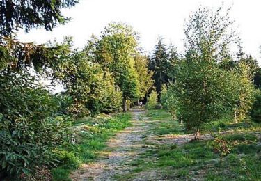
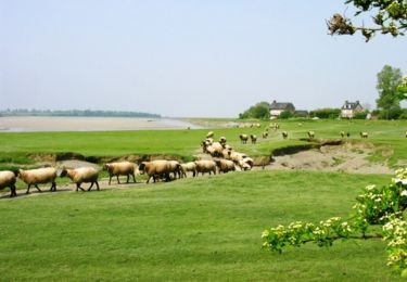
Tocht Te voet Brécey - Brecey Samedi - Photo

UTAN Caen

© OpenStreetMap contributors
Lengte
Lengte
11,8 km
Max. hoogte
Max. hoogte
78 m
Positief hoogteverschil
187 m
Km-Effort
Km-Effort  
14,3 km
Min. hoogte
Min. hoogte
24 m
Negatief hoogteverschil
188 m
Boucle
Boucle
Ja
Datum van aanmaak :
2024-11-28 20:04:40.349
Laatste wijziging :
2024-11-28 20:05:35.563

(0 Bericht)

Te voet
Te voet
3h15
Moeilijkheid : Gemakkelijk

Scan deze QR-code om de tocht te openen in de SityTrail-applicatie

Gratisgps-wandelapplicatie

Logo SityTrail SityTrail

IGN / Geografische instituten

SityTrail uit de App Store downloaden SityTrail uit Google Play downloaden

Logo SityTrail SityTrail World

De wereld gaat voor u open

SityTrail uit de App Store downloaden SityTrail uit Google Play downloaden SityTrail op Huawei AppGallery downloaden

Over ons

Tocht Te voet van 11,8 km beschikbaar op Normandië, Manche, Brécey. Deze tocht wordt voorgesteld door UTAN Caen.

Hoogteprofiel

Plaatsbepaling

Land:
France
Regio :
Normandië
Departement/Provincie :
Manche
Gemeente :
Brécey
Locatie:
Unknown
Vertrek:(UTM)
634600 ; 5398463 (30U) N.

Wandeltochten in de omgeving

Tocht Mountainbike Le Petit-Celland - Espace VTT FFC de la Vallée de la Sée - circuit n°17 - Tour de la Vallée de la Sée - Photo
Mountainbike
tracegps

Mountainbike

Zeer moeilijk
(1)
Le Petit-Celland, Normandië, Manche, France
160 km | 202 km-effort
16h 0min
Ja
Tocht Mountainbike Brécey - Espace VTT FFC de la Vallée de la Sée - circuit n°4 - Balade de la Sémondière - Photo
Mountainbike
tracegps

Mountainbike

Gemakkelijk
Brécey, Normandië, Manche, France
6,4 km | 7,6 km-effort
1h 0min
Ja
Tocht Mountainbike Brécey - Espace VTT FFC de la Vallée de la Sée - circuit n°3 - Entre Prés et Vergers - Photo
Mountainbike
tracegps

Mountainbike

Medium
Brécey, Normandië, Manche, France
14,8 km | 17,8 km-effort
2h 0min
Ja
Tocht Mountainbike Brécey - Espace VTT FFC de la Vallée de la Sée - circuit n°2 - Panoramas sur le Val de Sée - Photo
Mountainbike
tracegps

Mountainbike

Moeilijk
Brécey, Normandië, Manche, France
14,3 km | 17,9 km-effort
2h 0min
Ja
Tocht Mountainbike Brécey - Espace VTT FFC de la Vallée de la Sée - circuit n°1 - Des Romains aux Chouans - Photo
Mountainbike
tracegps

Mountainbike

Zeer moeilijk
Brécey, Normandië, Manche, France
61 km | 77 km-effort
5h 0min
Ja
Tocht Stappen Le Grand-Celland - Grands Celland / St Senier Sous Avranches  - Photo
Stappen
mimisouge72

Stappen

Medium
Le Grand-Celland, Normandië, Manche, France
26 km | 33 km-effort
5h 25min
Neen
Tocht Motor Reffuveille - Nico gr 22 - Photo
Motor
phillipine

Motor

Heel gemakkelijk
Reffuveille, Normandië, Manche, France
35 km | 44 km-effort
1h 19min
Neen
Tocht Stappen Brécey - MSM 10 Brécey - Avranches. 26km. (31km) - Photo
Stappen
Lannoy Christophe

Stappen

Zeer moeilijk
Brécey, Normandië, Manche, France
26 km | 31 km-effort
7h 9min
Neen
Tocht Mountainbike La Chaise-Baudouin - La Chaise Baudouin Tour Brecey 42km - Photo
Mountainbike
ludorochette

Mountainbike

Zeer moeilijk
La Chaise-Baudouin, Normandië, Manche, France
42 km | 51 km-effort
2h 57min
Ja


Sluiten
Mijn abonnementen