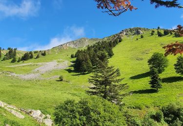
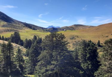
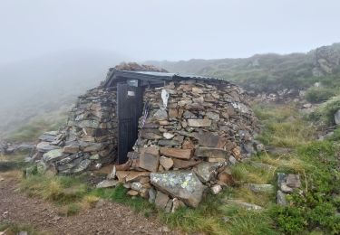
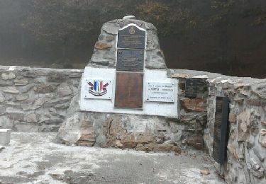
11,7 km | 24 km-effort
Mont arrouy depuis Nistos
© OpenStreetMap contributors
Stappen
3h36
Moeilijkheid : Gemakkelijk
Lengte
10,3 km
Max. hoogte
1865 m
Positief hoogteverschil
589 m
Km-Effort
18,3 km
Min. hoogte
1582 m
Negatief hoogteverschil
615 m
Boucle
Ja
Datum van aanmaak :
2024-11-26 08:24:24.0
Laatste wijziging :
2024-11-26 14:51:10.65
3h36
Moeilijkheid : Gemakkelijk
Gratisgps-wandelapplicatie
Over ons
Tocht Stappen van 10,3 km beschikbaar op Occitanië, Hautes-Pyrénées, Sarrancolin. Deze tocht wordt voorgesteld door (null) (null)2d73a32012fbb405f85d3457f10971c41.
Beschrijving
MGEN 22e résonnes
Plaatsbepaling
Land:
France
Regio :
Occitanië
Departement/Provincie :
Hautes-Pyrénées
Gemeente :
Sarrancolin
Locatie:
Unknown
Vertrek:(Dec)
Vertrek:(UTM)
292450 ; 4757846 (31T) N.
Opmerkingen
Wandeltochten in de omgeving
montagne d'Areng depuis la piste forestière après Férrères
Stappen
Moeilijk
Ferrère,
Occitanië,
Hautes-Pyrénées,
France
7h 44min
Ja
Mountarrouy en boucle depuis la station de Nistos
Stappen
Medium
Sarrancolin,
Occitanië,
Hautes-Pyrénées,
France
10,8 km | 19,1 km-effort
5h 48min
Ja
nistos Nestea fait G4
Stappen
Heel gemakkelijk
Sarrancolin,
Occitanië,
Hautes-Pyrénées,
France
7,4 km | 10,2 km-effort
4h 21min
Ja
Le Cournudère en boucle depuis Bordes de Saube
Stappen
Medium
Ferrère,
Occitanië,
Hautes-Pyrénées,
France
17,2 km | 34 km-effort
6h 35min
Ja
Cap Nestes
Stappen
Medium
Sarrancolin,
Occitanië,
Hautes-Pyrénées,
France
4 km | 7,7 km-effort
2h 10min
Ja
Cimetière Anglo-Canadien - Pic de Douly et Mont Aspet
Stappen
Moeilijk
Nistos,
Occitanië,
Hautes-Pyrénées,
France
8,8 km | 14,9 km-effort
3h 23min
Ja
soum de templa
Stappen
Medium
Ferrère,
Occitanië,
Hautes-Pyrénées,
France
16,7 km | 32 km-effort
5h 21min
Ja
cap Nesté depuis la Barousse
Stappen
Medium
Ferrère,
Occitanië,
Hautes-Pyrénées,
France
9,2 km | 19,3 km-effort
6h 46min
Ja
2016-10-08 Nistos - cimetière américain
Stappen
Gemakkelijk
Nistos,
Occitanië,
Hautes-Pyrénées,
France
6,3 km | 8,9 km-effort
2h 2min
Ja