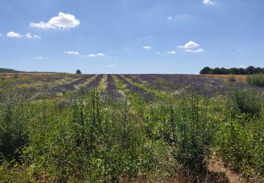
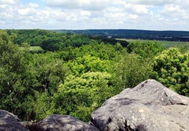
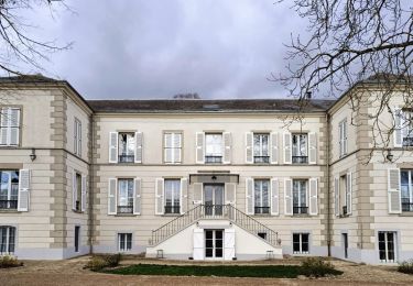
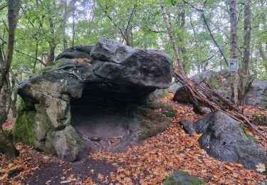
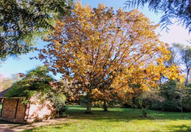
Tocht Stappen La Ferté-Alais - La Ferté Alais (boucle par Boissy et la Pierre Levée) - Photo

La Ferté Alais (boucle par Boissy et la Pierre Levée)

 mmx007
mmx007

Gebruiker

© OpenStreetMap contributors
Lengte
Lengte
24 km
Max. hoogte
Max. hoogte
153 m
Positief hoogteverschil
311 m
Km-Effort
Km-Effort  
28 km
Min. hoogte
Min. hoogte
52 m
Negatief hoogteverschil
311 m
Boucle
Boucle
Ja
Datum van aanmaak :
2016-03-11 00:00:00.0
Laatste wijziging :
2016-03-11 00:00:00.0

(0 Bericht)

Stappen
Stappen
6h04
Moeilijkheid : Medium

Scan deze QR-code om de tocht te openen in de SityTrail-applicatie

Gratisgps-wandelapplicatie

Logo SityTrail SityTrail

IGN / Geografische instituten

SityTrail uit de App Store downloaden SityTrail uit Google Play downloaden

Logo SityTrail SityTrail World

De wereld gaat voor u open

SityTrail uit de App Store downloaden SityTrail uit Google Play downloaden SityTrail op Huawei AppGallery downloaden

Over ons

Tocht Stappen van 24 km beschikbaar op Île-de-France, Essonne, La Ferté-Alais. Deze tocht wordt voorgesteld door mmx007.

Beschrijving

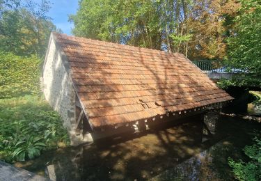
Boucle autour de la Ferté Alais, via Cerny, Boissy le Cuté, la petite mer de sable de Villeneuve-sur-Auvers, le Dolmen de la Pierre Levée de Janville, l'aérodrome de la Ferté Alais au loin et retour à la Ferté. RER D.
Balisage GR 111A, GR 1 et GR 11.
La difficulté de l'itinéraire (suivi en mai 2015) réside surtout dans sa longueur.
Voir les POIs pour plus d'informations sur les "choses à voir".

Hoogteprofiel

POI's

POI Cerny - 5 kms - Photo
mmx007
CERNY 
POI Boissy-le-Cutté - Attention passage le long d'une route - Photo
mmx007
POI Boissy-le-Cutté - Attention tourner à droite - Photo
mmx007
BOISSY-LE-CUTTÉ 
POI Villeneuve-sur-Auvers - Attention balisage  - Photo
mmx007
VILLENEUVE-SUR-AUVERS 
POI Villeneuve-sur-Auvers - Jonction avec le GR 655 Est - Photo
mmx007
VILLENEUVE-SUR-AUVERS 
POI Villeneuve-sur-Auvers - 10  kms - Photo
mmx007
VILLENEUVE-SUR-AUVERS 
POI Janville-sur-Juine - 15 kms - Photo
mmx007
JANVILLE-SUR-JUINE 
POI Cerny - 20 kms - Photo
mmx007
CERNY 
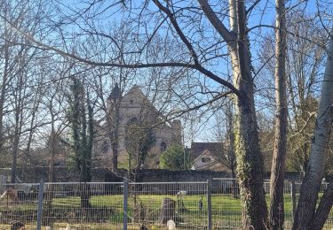
POI La Ferté-Alais - Eglise ND de l'Assomption - Photo
mmx007
LA FERTÉ-ALAIS 
POI Janville-sur-Juine - Le Domen de la Pierre Levée - Photo
mmx007
JANVILLE-SUR-JUINE 

Plaatsbepaling

Land:
France
Regio :
Île-de-France
Departement/Provincie :
Essonne
Gemeente :
La Ferté-Alais
Locatie:
Unknown
Vertrek:(Dec)
Vertrek:(UTM)
452077 ; 5370390 (31U) N.

Wandeltochten in de omgeving

Tocht Stappen Itteville - Les vieilles ailes - Photo
Stappen
c.chehere

Stappen

Gemakkelijk
(1)
Itteville, Île-de-France, Essonne, France
16,8 km | 19,2 km-effort
3h 37min
Ja
Tocht Mountainbike Lardy - Autour de Lardy en VTT - Photo
Mountainbike
tracegps

Mountainbike

Medium
(1)
Lardy, Île-de-France, Essonne, France
31 km | 38 km-effort
2h 4min
Ja
Tocht Stappen La Ferté-Alais - Boucle Cerny - Photo
Stappen
GUIDE
chessyca

Stappen

Medium
La Ferté-Alais, Île-de-France, Essonne, France
22 km | 26 km-effort
4h 38min
Ja
Tocht Stappen Ballancourt-sur-Essonne - Boucle autour de Ballancourt - Photo
Stappen
GUIDE
chessyca

Stappen

Medium
Ballancourt-sur-Essonne, Île-de-France, Essonne, France
21 km | 25 km-effort
4h 47min
Ja
Tocht Stappen Baulne - De La Ferté Alais à Mennecy - Photo
Stappen
GUIDE
chessyca

Stappen

Heel gemakkelijk
Baulne, Île-de-France, Essonne, France
20 km | 23 km-effort
4h 31min
Neen
Tocht Te voet Itteville - SityTrail - 3212203 - itteville - Photo
Te voet
GUIDE
chessyca

Te voet

Moeilijk
Itteville, Île-de-France, Essonne, France
28 km | 33 km-effort
7h 32min
Ja
Tocht Te voet La Ferté-Alais - Boucle Orveau - Ferté Alais 27 km - Photo
Te voet
GUIDE
chessyca

Te voet

Moeilijk
La Ferté-Alais, Île-de-France, Essonne, France
27 km | 33 km-effort
7h 26min
Ja
Tocht Te voet Itteville - Chemin des Marais - Photo
Te voet
GUIDE+

Te voet

Gemakkelijk
Itteville, Île-de-France, Essonne, France
14,3 km | 16 km-effort
3h 38min
Neen
Tocht Stappen Bouray-sur-Juine - Boucle autour de Bouray/ Juine et Chamarande - Photo
Stappen
GUIDE
chessyca

Stappen

Medium
Bouray-sur-Juine, Île-de-France, Essonne, France
24 km | 29 km-effort
5h 18min
Ja


Sluiten
Mijn abonnementen