


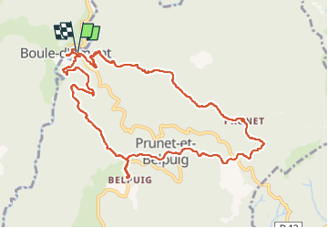

10,4 km | 14,8 km-effort

Gebruiker


Gratisgps-wandelapplicatie
 SityTrail
IGN / Geografische instituten
SityTrail World
De wereld gaat voor u open
Tocht Stappen van 12,4 km beschikbaar op Occitanië, Pyrénées-Orientales, Prunet-et-Belpuig. Deze tocht wordt voorgesteld door MarcOBRECHT.
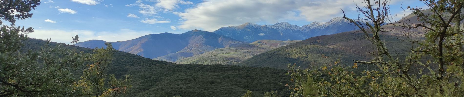
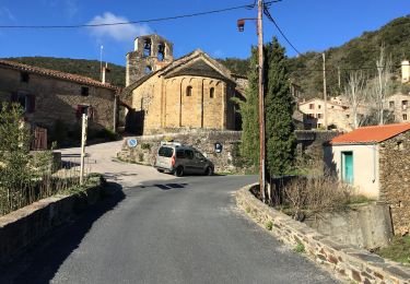
Depuis boule d'amont en montant vers la chapelle de Prunet.
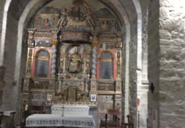
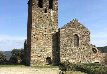
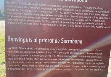
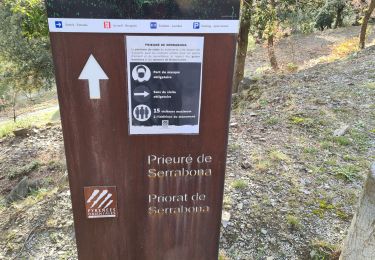
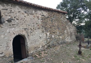
Direction la Trinité puis montée aux ruines du chateau et visite de l'église.
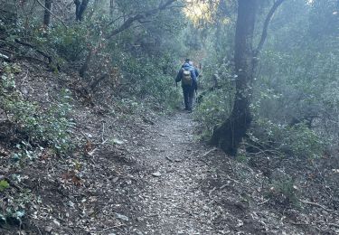
Descente et retour


Stappen
Stappen

Stappen
Stappen
Stappen

Stappen
Stappen
Stappen
Stappen