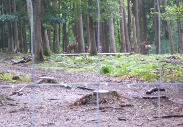
Tocht Stappen Saint-Hubert - SityTrail - Saint-Hubert - Les Gottes (SH02) - Photo

SityTrail - Saint-Hubert - Les Gottes (SH02)

 jipysn
jipysn

Gebruiker

© OpenStreetMap contributors
Lengte
Lengte
6,9 km
Max. hoogte
Max. hoogte
571 m
Positief hoogteverschil
124 m
Km-Effort
Km-Effort  
8,6 km
Min. hoogte
Min. hoogte
470 m
Negatief hoogteverschil
124 m
Boucle
Boucle
Ja
Datum van aanmaak :
2024-11-14 18:53:17.908
Laatste wijziging :
2024-11-15 16:37:29.952

(0 Bericht)

Stappen
Stappen
1h57
Moeilijkheid : Gemakkelijk

Scan deze QR-code om de tocht te openen in de SityTrail-applicatie

Gratisgps-wandelapplicatie

Logo SityTrail SityTrail
IGN / Geografische instituten

SityTrail uit de App Store downloaden SityTrail uit Google Play downloaden

Logo SityTrail SityTrail World

De wereld gaat voor u open

SityTrail uit de App Store downloaden SityTrail uit Google Play downloaden SityTrail op Huawei AppGallery downloaden

Over ons

Tocht Stappen van 6,9 km beschikbaar op Wallonië, Luxemburg, Saint-Hubert. Deze tocht wordt voorgesteld door jipysn.

Beschrijving

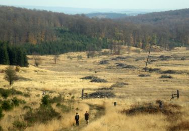
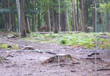
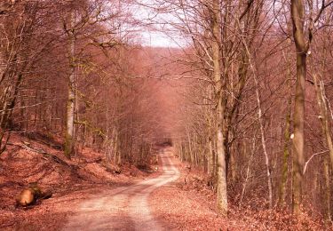
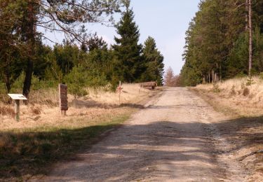
Sur un parcours de 2 heures, un condensé des plus belles caractéristiques de la forêt de Saint-Hubert. Avec une vue exceptionnelle sur la ville, la basilique et l'abbaye.

Extrait de la carte de promenade « Au Pays de Saint-Hubert » (30 balades pédestres, 6 circuits VTT – carte topographique 1/25.000) disponible au Royal Syndicat d’Initiative de Saint-Hubert au prix de 8€.

Royal Syndicat d’Initiative de Saint-Hubert
Place du Marché, n°15
B-6870 SAINT-HUBERT
Tél.:  32 (0)61 61 30 10
Fax:  32 (0)61 61 54 44
rsi@saint-hubert-tourisme.be
www.rsi-sainthubert.be
facebook.com/rsisainthubert

Hoogteprofiel

Foto's

POI's

POI Saint-Hubert - Départ - Photo
jipysn
SAINT-HUBERT 

Plaatsbepaling

Land:
Belgium
Regio :
Wallonië
Departement/Provincie :
Luxemburg
Gemeente :
Saint-Hubert
Locatie:
Unknown
Vertrek:(UTM)
670005 ; 5544807 (31U) N.

Wandeltochten in de omgeving

Tocht Stappen Saint-Hubert - Saint-Hubert - La Borne (SH07) - Photo
Stappen
GUIDE+

Stappen

Moeilijk
(9)
Saint-Hubert, Wallonië, Luxemburg, Belgium
13,9 km | 17,6 km-effort
3h 47min
Ja
Tocht Stappen Saint-Hubert - Hatrival - Banalbois (SH13) - Photo
Stappen
GUIDE+

Stappen

Medium
(6)
Saint-Hubert, Wallonië, Luxemburg, Belgium
7,5 km | 9,5 km-effort
2h 2min
Ja
Tocht Stappen Saint-Hubert - RB-Lu-26_Saint-Hubert_via-racc-1-et-2 - Photo
Stappen
PRO

Stappen

Heel gemakkelijk
(8)
Saint-Hubert, Wallonië, Luxemburg, Belgium
14,6 km | 19,5 km-effort
4h 15min
Ja
Tocht Stappen Saint-Hubert - Vesqueville - Vesqueville (SH09) - Photo
Stappen
GUIDE+

Stappen

Moeilijk
(6)
Saint-Hubert, Wallonië, Luxemburg, Belgium
15,6 km | 19,4 km-effort
4h 9min
Ja
Tocht Stappen Saint-Hubert - Saint-Hubert - Les Abanages (SH03) - Photo
Stappen
GUIDE+

Stappen

Moeilijk
(13)
Saint-Hubert, Wallonië, Luxemburg, Belgium
9,8 km | 13,1 km-effort
2h 49min
Ja
Tocht Stappen Saint-Hubert - Saint-Hubert - Les Gottes (SH02) - Photo
Stappen
GUIDE+

Stappen

Medium
(17)
Saint-Hubert, Wallonië, Luxemburg, Belgium
6,9 km | 8,6 km-effort
1h 52min
Ja
Tocht Stappen Saint-Hubert - Marche ADEPS Arville - Photo
Stappen
GUIDE
Bernard Gillet

Stappen

Medium
(1)
Saint-Hubert, Wallonië, Luxemburg, Belgium
10,2 km | 13,6 km-effort
2h 13min
Ja
Tocht Stappen Saint-Hubert - ADEPS Saint Hubert - Photo
Stappen
GUIDE
Bernard Gillet

Stappen

Moeilijk
(1)
Saint-Hubert, Wallonië, Luxemburg, Belgium
10,8 km | 13,7 km-effort
1h 57min
Ja
Tocht Stappen Saint-Hubert - RB-Lu-26_Saint-Hubert - Photo
Stappen
PRO

Stappen

Heel gemakkelijk
(7)
Saint-Hubert, Wallonië, Luxemburg, Belgium
25 km | 33 km-effort
7h 2min
Ja


Sluiten
Mijn abonnementen