


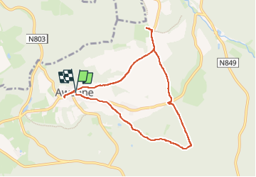


14,6 km | 19,5 km-effort

Gebruiker


Gratisgps-wandelapplicatie
 SityTrail
IGN / Geografische instituten
SityTrail World
De wereld gaat voor u open
Tocht Stappen van 7,5 km beschikbaar op Wallonië, Luxemburg, Saint-Hubert. Deze tocht wordt voorgesteld door Geert H..
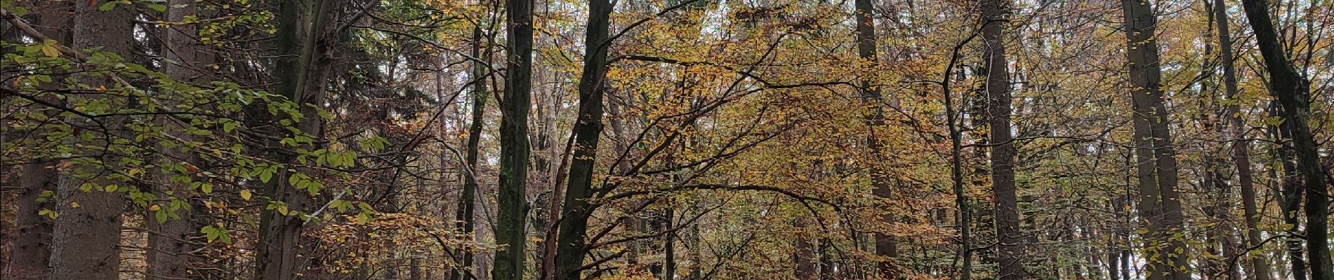
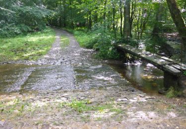
De bossen tussen Lomme en Masblette
Wandeling uit het Groot Wandelboek Ardennen.
Spijtig genoeg werd de wandeling onderbroken door het jachtseizoen en mochten we op een bepaald punt niet meer verder door een actieve jacht in het bos en werd het leukste deel dus niet gedaan.
 - Photo 1")
 - Photo 2")
 - Photo 3")
 - Photo 4")
 - Photo 5")
 - Photo 6")
 - Photo 7")
 - Photo 8")
 - Photo 9")

Stappen

Stappen

Stappen

Stappen

Stappen

Stappen

Stappen

Stappen
Stappen