


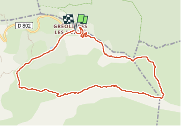

16,7 km | 33 km-effort

Gebruiker


Gratisgps-wandelapplicatie
 SityTrail
IGN / Geografische instituten
SityTrail World
De wereld gaat voor u open
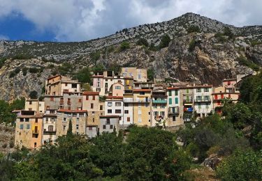
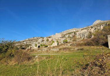
Tocht Stappen van 11,8 km beschikbaar op Provence-Alpes-Côte d'Azur, Alpes-Maritimes, Gréolières. Deze tocht wordt voorgesteld door GrouGary.
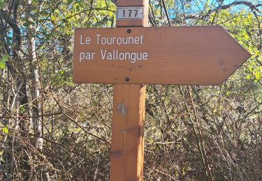
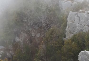
Petite boucle tranquille. Vues à 360° (Esteron au Nord...)
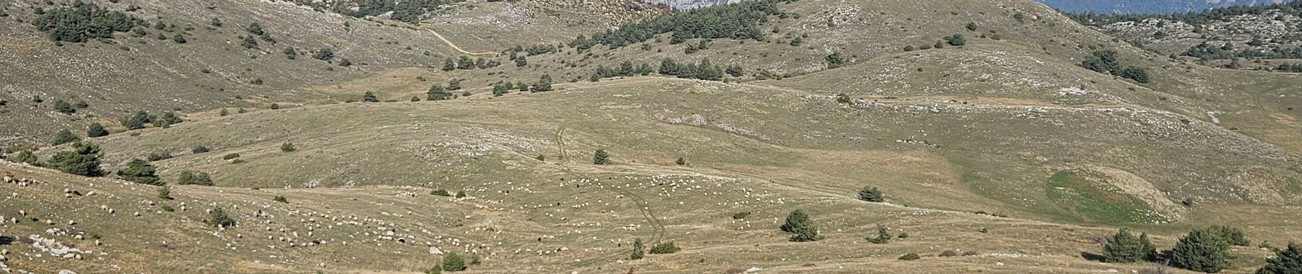
Très gros troupeaux de chèvres et moutons, chiens non agressifs si on ne traverse pas leur troupeau


Te voet

Te voet

Te voet

Te voet
Te voet

Stappen
Stappen
Stappen
Stappen