


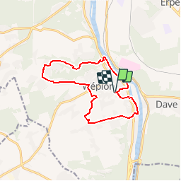


14,6 km | 22 km-effort


Gebruiker GUIDE


Gratisgps-wandelapplicatie
 SityTrail
IGN / Geografische instituten
SityTrail World
De wereld gaat voor u open
Tocht Stappen van 11,7 km beschikbaar op Wallonië, Namen, Namen. Deze tocht wordt voorgesteld door Desrumaux.
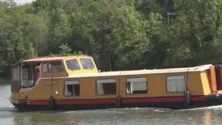
Cette balade piétonne et cycliste (VTC) proposée par « Nature Namur » emprunte essentiellement des petites routes peu fréquentées dans les jolis quartiers du village de Wépion ainsi que le magnifique chemin de hallage en bordure de la Meuse.Départ : Eglise de Wépion


Stappen

Stappen

Stappen

Stappen

Stappen

Stappen

Stappen

Stappen
Stappen
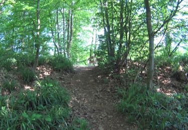
superbe balade et superbes vues. il faut noter que la grande partie du parcours se fait sur chemin asphaltés. Très peu de sentiers. par contre, passage par de très beaux coins méconnus de Wépion.
La vidéo qui accompagne cette présentation est de toute beauté.J'habite Profondeville et je suis tombé sous le charme des vues et de la musique. Je me balade souvent à Wépion et Profondeville et je me dis que j'habite quand même une belle région. Une belle balade à refaire ... merci.