


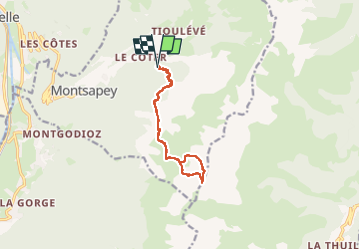

9,3 km | 21 km-effort

Gebruiker


Gratisgps-wandelapplicatie
 SityTrail
IGN / Geografische instituten
SityTrail World
De wereld gaat voor u open
Tocht Stappen van 11,5 km beschikbaar op Auvergne-Rhône-Alpes, Savoie, Montsapey. Deze tocht wordt voorgesteld door jibebouvier.
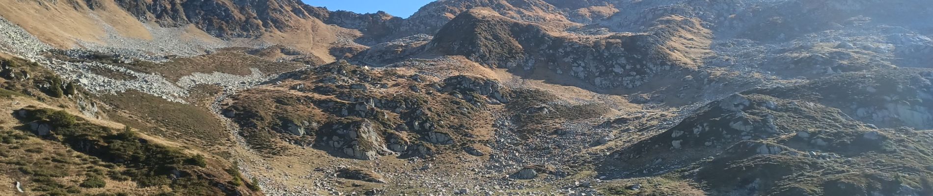
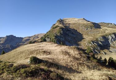
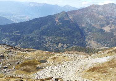
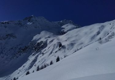
une première, le col des fretes est bien raide sur la fin !
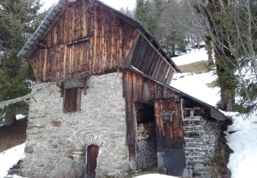
retour en passant par clartan.
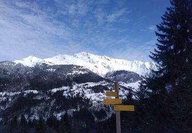
bien sûr aucun chemin au dessus de clartan mais les moutons laissent des passages.
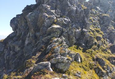
vu une quinzaine de chamois, un à moins de 10m qu'est venu de lui même... en période de chasse...
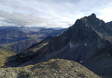
et un lynx au sommet !


Stappen
Stappen
Stappen
Stappen
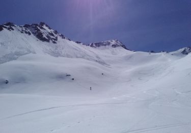
Ski randonnée
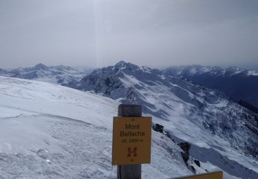
Ski randonnée
Ski randonnée
Ski randonnée
Ski randonnée