


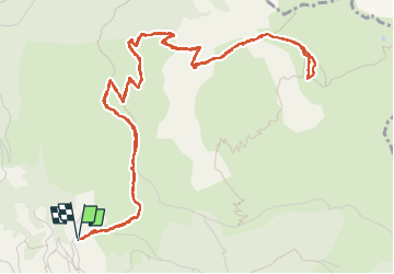

8,8 km | 14,3 km-effort

Gebruiker


Gratisgps-wandelapplicatie
 SityTrail
IGN / Geografische instituten
SityTrail World
De wereld gaat voor u open
Tocht Stappen van 8,3 km beschikbaar op Nieuw-Aquitanië, Pyrénées-Atlantiques, Bedous. Deze tocht wordt voorgesteld door bedous.
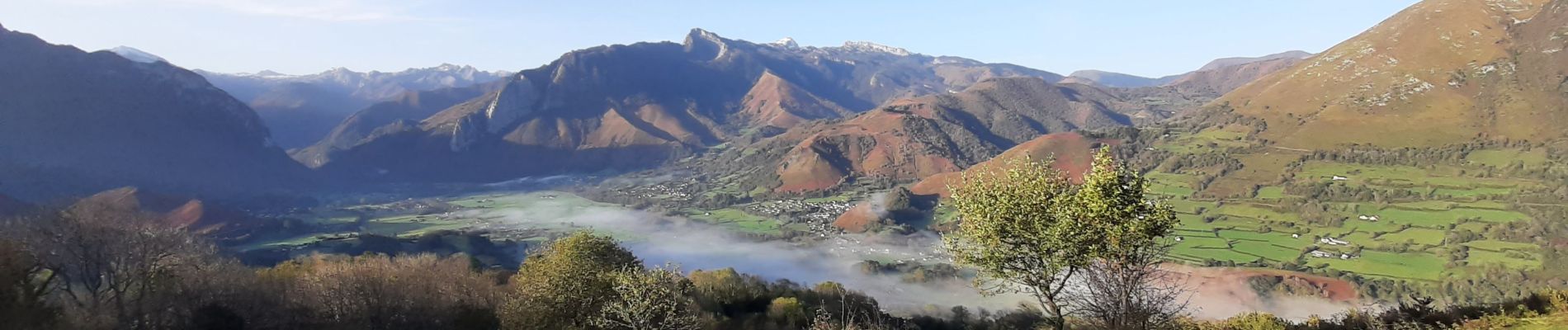
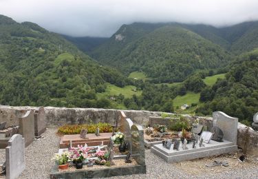
Randonnée de niveau IBP 90 mais magnifiques vues sur la vallée d'Aspe, sur Bedous....Puis du haut du plateau vue jusqu'à Oloron Sainte Marie et plus loin.....


Stappen

Stappen

Stappen

Te voet

Te voet

Te voet

Te voet
Te voet
Te voet