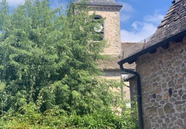
4 km | 5 km-effort
Mercoeur Trail
ultrascal
Gebruiker
Lengte
8,9 km
Max. hoogte
566 m
Positief hoogteverschil
309 m
Km-Effort
13 km
Min. hoogte
363 m
Negatief hoogteverschil
312 m
Boucle
Ja
Datum van aanmaak :
2024-10-22 08:19:30.94
Laatste wijziging :
2024-10-22 08:19:53.176
0m
Moeilijkheid : Heel gemakkelijk
Gratisgps-wandelapplicatie
Over ons
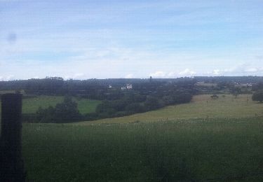
Tocht Trail van 8,9 km beschikbaar op Nieuw-Aquitanië, Corrèze, Mercœur. Deze tocht wordt voorgesteld door ultrascal.
Plaatsbepaling
Land:
France
Regio :
Nieuw-Aquitanië
Departement/Provincie :
Corrèze
Gemeente :
Mercœur
Locatie:
Unknown
Vertrek:(Dec)
Vertrek:(UTM)
419916 ; 4987574 (31T) N.
Opmerkingen
Wandeltochten in de omgeving
Le rocher du peintre
Stappen
Medium
Camps-Saint-Mathurin-Léobazel,
Nieuw-Aquitanië,
Corrèze,
France
9,1 km | 11,2 km-effort
2h 2min
Neen
la chappelle Saint Geraud
Stappen
Medium
(1)
La Chapelle-Saint-Géraud,
Nieuw-Aquitanië,
Corrèze,
France
5,7 km | 7,9 km-effort
1h 53min
Ja
quad
Motor
Heel gemakkelijk
Mercœur,
Nieuw-Aquitanië,
Corrèze,
France
23 km | 28 km-effort
1h 58min
Neen
Lap 03
Paard
Gemakkelijk
Camps-Saint-Mathurin-Léobazel,
Nieuw-Aquitanië,
Corrèze,
France
5,1 km | 7 km-effort
52min
Ja
correze J3
Paardrijden
Heel gemakkelijk
Camps-Saint-Mathurin-Léobazel,
Nieuw-Aquitanië,
Corrèze,
France
31 km | 41 km-effort
7h 4min
Neen
trace Mialaret Merle Mialaret
Paardrijden
Moeilijk
Camps-Saint-Mathurin-Léobazel,
Nieuw-Aquitanië,
Corrèze,
France
28 km | 39 km-effort
5h 9min
Neen
trace Mialaret Grand Tour Gorges de la Cère
Paard
Heel gemakkelijk
Camps-Saint-Mathurin-Léobazel,
Nieuw-Aquitanië,
Corrèze,
France
27 km | 36 km-effort
Onbekend
Ja