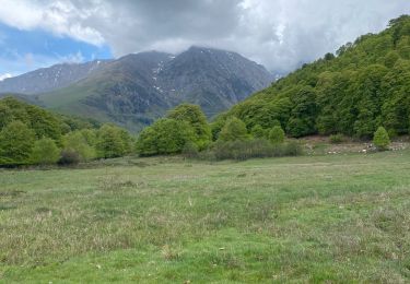
9,8 km | 14,9 km-effort
Lac d'Arou et pic de Monfaucon
chasle
Gebruiker
Lengte
15,6 km
Max. hoogte
2692 m
Positief hoogteverschil
1244 m
Km-Effort
32 km
Min. hoogte
1560 m
Negatief hoogteverschil
1249 m
Boucle
Ja
Datum van aanmaak :
2024-10-15 05:51:16.158
Laatste wijziging :
2024-10-17 07:52:42.421
5h01
Moeilijkheid : Moeilijk
Gratisgps-wandelapplicatie
Over ons
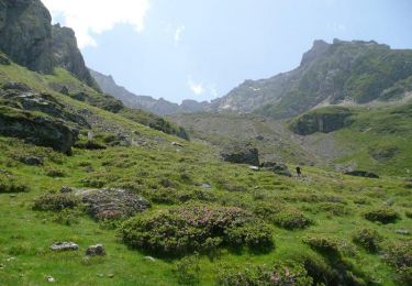
Tocht Stappen van 15,6 km beschikbaar op Occitanië, Hautes-Pyrénées, Ancizan. Deze tocht wordt voorgesteld door chasle.
Plaatsbepaling
Land:
France
Regio :
Occitanië
Departement/Provincie :
Hautes-Pyrénées
Gemeente :
Ancizan
Locatie:
Unknown
Vertrek:(Dec)
Vertrek:(UTM)
280002 ; 4753184 (31T) N.
Opmerkingen
Wandeltochten in de omgeving
Vallée de la Gaoube
Stappen
Medium
(1)
Ancizan,
Occitanië,
Hautes-Pyrénées,
France
6,6 km | 9,1 km-effort
4h 49min
Ja
Soum de Coste Oueillère
Stappen
Moeilijk
(1)
Ancizan,
Occitanië,
Hautes-Pyrénées,
France
9,6 km | 23 km-effort
4h 26min
Ja
raquet 1
Sneeuwschoenen
Gemakkelijk
(1)
Campan,
Occitanië,
Hautes-Pyrénées,
France
4,9 km | 7,2 km-effort
2h 10min
Ja
payolle
Stappen
Heel gemakkelijk
(1)
Campan,
Occitanië,
Hautes-Pyrénées,
France
6,5 km | 8,2 km-effort
1h 52min
Ja
CAMPAN/PAYOLLE le sarrouat les huîtres et les Esclozes "3885552"
Stappen
Medium
Ancizan,
Occitanië,
Hautes-Pyrénées,
France
8 km | 11,1 km-effort
2h 31min
Ja
Les Granges esclozes
Stappen
Gemakkelijk
Ancizan,
Occitanië,
Hautes-Pyrénées,
France
30 km | 36 km-effort
2h 49min
Neen
Col d’Aspin
Mountainbike
Moeilijk
Arreau,
Occitanië,
Hautes-Pyrénées,
France
14,6 km | 23 km-effort
3h 23min
Ja
Fred et lolo
Stappen
Gemakkelijk
Campan,
Occitanië,
Hautes-Pyrénées,
France
4,2 km | 5,6 km-effort
2h 2min
Ja