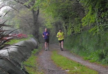
19,6 km | 24 km-effort
Tonneville 8.5 km 2024-11-22
Catherine Didier
Gebruiker
Lengte
8,5 km
Max. hoogte
162 m
Positief hoogteverschil
170 m
Km-Effort
10,8 km
Min. hoogte
51 m
Negatief hoogteverschil
168 m
Boucle
Ja
Datum van aanmaak :
2024-10-15 06:08:58.93
Laatste wijziging :
2024-10-15 06:09:50.759
2h27
Moeilijkheid : Medium
Gratisgps-wandelapplicatie
Over ons
Tocht Stappen van 8,5 km beschikbaar op Normandië, Manche, La Hague. Deze tocht wordt voorgesteld door Catherine Didier.
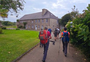
Plaatsbepaling
Land:
France
Regio :
Normandië
Departement/Provincie :
Manche
Gemeente :
La Hague
Locatie:
Tonneville
Vertrek:(Dec)
Vertrek:(UTM)
592862 ; 5499908 (30U) N.
Opmerkingen
Wandeltochten in de omgeving
Séjour Cotentin Etape 1 Hurville Nacqueville à Jobourg
Te voet
Medium
La Hague,
Normandië,
Manche,
France
5h 33min
Neen
landemer / goury
Stappen
Heel gemakkelijk
(1)
La Hague,
Normandië,
Manche,
France
19,7 km | 22 km-effort
5h 12min
Neen
Normandie étape 5
Stappen
Medium
(1)
La Hague,
Normandië,
Manche,
France
24 km | 28 km-effort
6h 2min
Neen
Querqueville
Stappen
Gemakkelijk
Cherbourg-en-Cotentin,
Normandië,
Manche,
France
10,4 km | 11 km-effort
1h 53min
Ja
Run and Bike Haguard 2013 - Sainte Croix Hague
Lopen
Moeilijk
La Hague,
Normandië,
Manche,
France
21 km | 27 km-effort
2h 30min
Ja
Run and Bike Haguard 2013 - Sainte Croix Hague
Mountainbike
Medium
La Hague,
Normandië,
Manche,
France
21 km | 27 km-effort
1h 30min
Ja
Sentiers de la Hague 2013 - 35 km
Mountainbike
Medium
La Hague,
Normandië,
Manche,
France
32 km | 40 km-effort
2h 30min
Ja
Sentiers de la Hague 2013 - 45 km
Mountainbike
Moeilijk
La Hague,
Normandië,
Manche,
France
46 km | 58 km-effort
3h 0min
Ja