


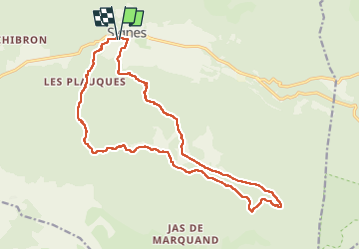

14,2 km | 18,3 km-effort

Gebruiker


Gratisgps-wandelapplicatie
 SityTrail
IGN / Geografische instituten
SityTrail World
De wereld gaat voor u open
Tocht Stappen van 19,9 km beschikbaar op Provence-Alpes-Côte d'Azur, Var, Signes. Deze tocht wordt voorgesteld door Christiancordin.
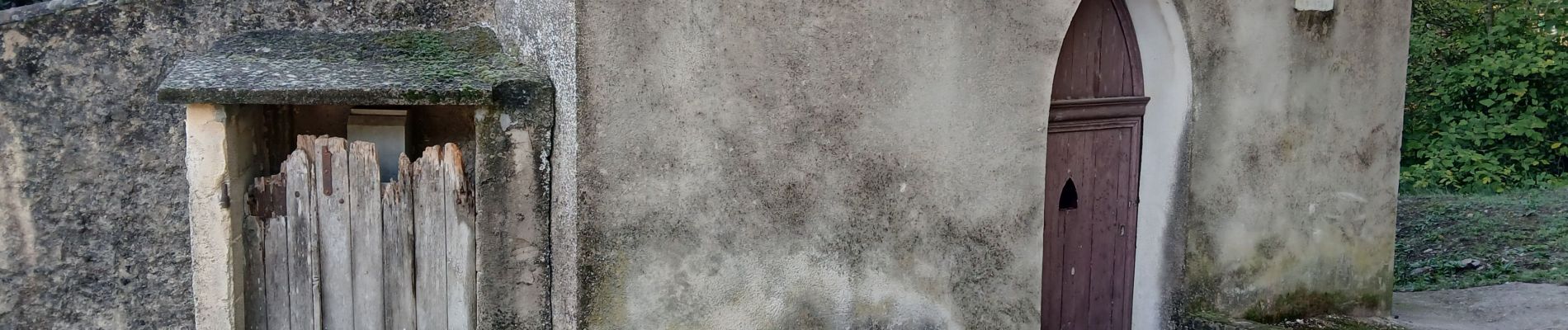
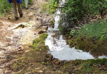
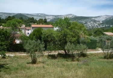
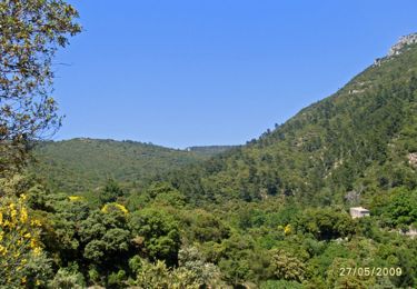
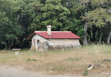
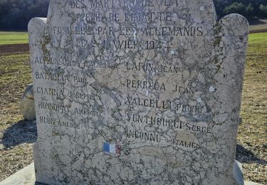
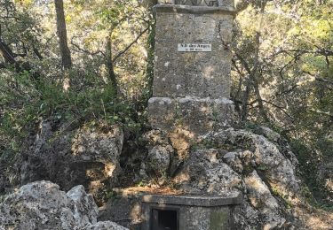
Départ Signes pk du Stade, chapelle St Clair, vallon des Croupatières, colle de Fède, la Limate, GR 51 GR 99.


Stappen
Mountainbike
Stappen

Stappen

Mountainbike
Stappen
Stappen
Stappen
Stappen