


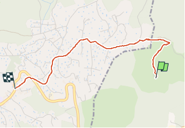

3,7 km | 4,8 km-effort

Gebruiker


Gratisgps-wandelapplicatie
 SityTrail
IGN / Geografische instituten
SityTrail World
De wereld gaat voor u open
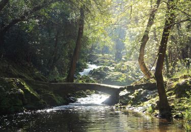
Tocht Stappen van 3,4 km beschikbaar op Provence-Alpes-Côte d'Azur, Alpes-Maritimes, Villeneuve-Loubet. Deze tocht wordt voorgesteld door GrouGary.
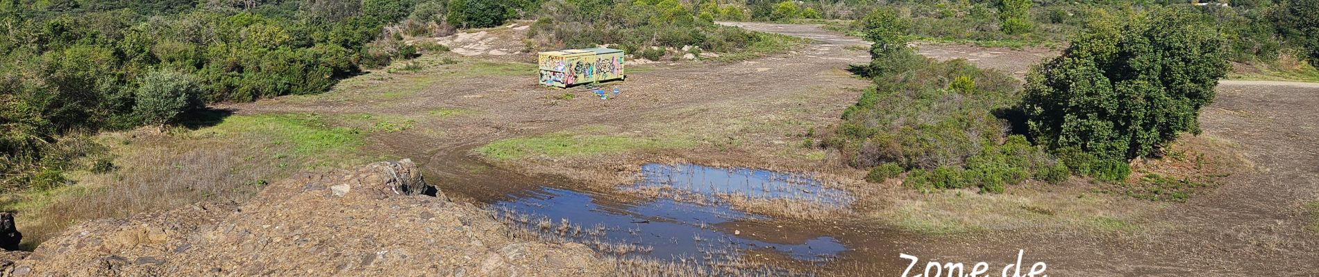
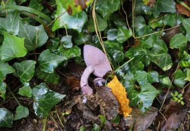
Sortie géologique 5/10 ; Le volcanisme de l'ère tertiaire de Villeneuve Loubet : Cinérites du Dôme des Aspres


Te voet
Te voet
Te voet
Te voet

Te voet
Te voet
Te voet
Te voet

Mountainbike