


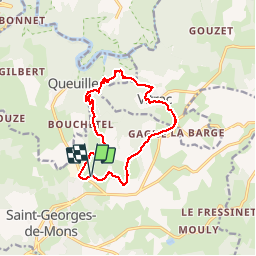


16,9 km | 24 km-effort


Gebruiker


Gratisgps-wandelapplicatie
 SityTrail
IGN / Geografische instituten
SityTrail World
De wereld gaat voor u open
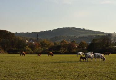
Tocht Stappen van 12,6 km beschikbaar op Auvergne-Rhône-Alpes, Puy-de-Dôme, Saint-Georges-de-Mons. Deze tocht wordt voorgesteld door Gegetop.
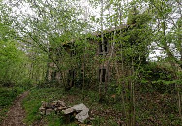
Très agréable à faire au printemps par une chaude journée de mai par exemple car beaucoup de forêts, mais dénivelé assez raide.
Te voet
Te voet
Te voet
Te voet

Stappen

Stappen
Te voet
Te voet
Te voet