


6,1 km | 9 km-effort

Gebruiker GUIDE


Gratisgps-wandelapplicatie
 SityTrail
IGN / Geografische instituten
SityTrail World
De wereld gaat voor u open
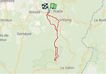
Tocht Paardrijden van 25 km beschikbaar op Grand Est, Vogezen, Fraize. Deze tocht wordt voorgesteld door holtzv.
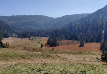
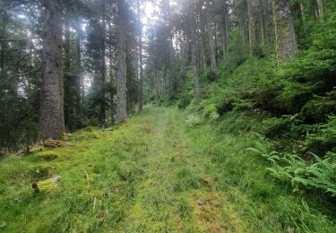
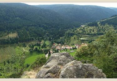
Boucle à la journée depuis Fraize pour rejoindre la chaume de Sérichamp pour le pause de midi tout en passant par le village de Clefcy et sa chapelle St-Hubert, le col du Reposoir, le poste Jean Cuny, la roche des Fées et la chapelle du Suisse


Stappen
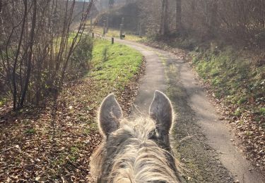
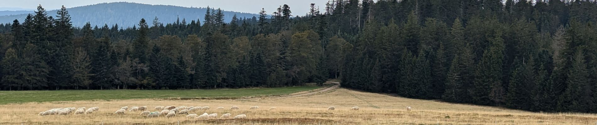
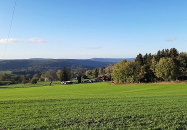
Paardrijden

Paardrijden
Stappen
Stappen

Paardrijden
Stappen
Paardrijden