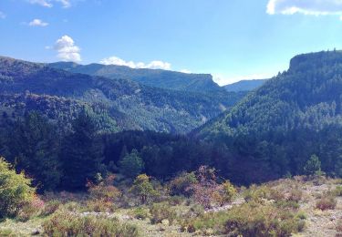
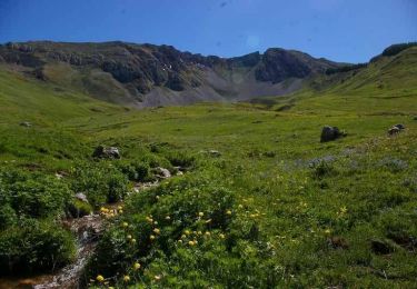
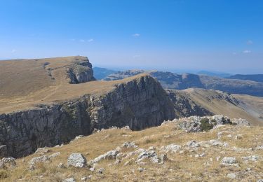
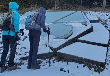
Tocht Stappen Authon - 2024_09_22 Les Monges - Photo
 Chamois30
Chamois30

Gebruiker

© OpenStreetMap contributors
Lengte
Lengte
14,5 km
Max. hoogte
Max. hoogte
2110 m
Positief hoogteverschil
933 m
Km-Effort
Km-Effort  
27 km
Min. hoogte
Min. hoogte
1225 m
Negatief hoogteverschil
929 m
Boucle
Boucle
Ja
Datum van aanmaak :
2024-09-22 07:29:11.194
Laatste wijziging :
2024-09-22 13:35:44.467

(0 Bericht)

Stappen
Stappen
4h16
Moeilijkheid : Medium

Scan deze QR-code om de tocht te openen in de SityTrail-applicatie

Gratisgps-wandelapplicatie

Logo SityTrail SityTrail

IGN / Geografische instituten

SityTrail uit de App Store downloaden SityTrail uit Google Play downloaden

Logo SityTrail SityTrail World

De wereld gaat voor u open

SityTrail uit de App Store downloaden SityTrail uit Google Play downloaden SityTrail op Huawei AppGallery downloaden

Over ons

Tocht Stappen van 14,5 km beschikbaar op Provence-Alpes-Côte d'Azur, Alpes-de-Haute-Provence, Authon. Deze tocht wordt voorgesteld door Chamois30.

Beschrijving

par la Peyrousse Authon

Hoogteprofiel

Plaatsbepaling

Land:
France
Regio :
Provence-Alpes-Côte d'Azur
Departement/Provincie :
Alpes-de-Haute-Provence
Gemeente :
Authon
Locatie:
Unknown
Vertrek:(UTM)
272035 ; 4903527 (32T) N.

Wandeltochten in de omgeving

Tocht Stappen Authon - 20180912_Monges_Authon_Boucle_Sommet Coste belle - Photo
Stappen
PapouBertrand

Stappen

Moeilijk
(1)
Authon, Provence-Alpes-Côte d'Azur, Alpes-de-Haute-Provence, France
15,2 km | 28 km-effort
5h 35min
Ja
Tocht Stappen Bayons - Le sommet des Monges - Bayons - Photo
Stappen
tracegps

Stappen

Zeer moeilijk
(1)
Bayons, Provence-Alpes-Côte d'Azur, Alpes-de-Haute-Provence, France
13,3 km | 22 km-effort
5h 0min
Ja
Tocht Te voet Authon - SityTrail - Les Monges au départ de Authon - Photo
Te voet
GUIDE
Marco05

Te voet

Moeilijk
Authon, Provence-Alpes-Côte d'Azur, Alpes-de-Haute-Provence, France
14,2 km | 27 km-effort
6h 2min
Ja
Tocht Stappen Authon - AUTHON  Faissal La Croix de Vey ré Sommet de Chine o - Photo
Stappen
RobinMicheline

Stappen

Moeilijk
(1)
Authon, Provence-Alpes-Côte d'Azur, Alpes-de-Haute-Provence, France
6,6 km | 13,8 km-effort
4h 50min
Ja
Tocht Stappen Authon - AUTHON. GROTTE. COL DE L AIGUILLE O L - Photo
Stappen
RobinMicheline

Stappen

Moeilijk
Authon, Provence-Alpes-Côte d'Azur, Alpes-de-Haute-Provence, France
12,1 km | 20 km-effort
3h 46min
Neen
Tocht Stappen Authon -  Faissal costebelle monges 825m 15kms  - Photo
Stappen
GUIDE
Danielba

Stappen

Medium
Authon, Provence-Alpes-Côte d'Azur, Alpes-de-Haute-Provence, France
14,4 km | 25 km-effort
7h 31min
Ja
Tocht Stappen Authon - AUTHON . FAISSAL .LES MONGES . LA CROIX DE VEYRE O L M  - Photo
Stappen
RobinMicheline

Stappen

Zeer moeilijk
Authon, Provence-Alpes-Côte d'Azur, Alpes-de-Haute-Provence, France
14,3 km | 25 km-effort
4h 47min
Ja
Tocht Stappen Authon - AUTHON . COL DE LA SAPIE .CRETE DU CLOT DES MARTHES . CABAN DE CHINE N - Photo
Stappen
RobinMicheline

Stappen

Moeilijk
Authon, Provence-Alpes-Côte d'Azur, Alpes-de-Haute-Provence, France
13,6 km | 22 km-effort
4h 15min
Ja
Tocht Stappen Authon - Sommet des Monges - Photo
Stappen
jalien04

Stappen

Moeilijk
Authon, Provence-Alpes-Côte d'Azur, Alpes-de-Haute-Provence, France
14,7 km | 27 km-effort
7h 26min
Ja


Sluiten
Mijn abonnementen