


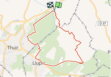


15 km | 18,2 km-effort

Gebruiker


Gratisgps-wandelapplicatie
 SityTrail
IGN / Geografische instituten
SityTrail World
De wereld gaat voor u open
Tocht Stappen van 10,1 km beschikbaar op Occitanië, Pyrénées-Orientales, Thuir. Deze tocht wordt voorgesteld door jeff66.
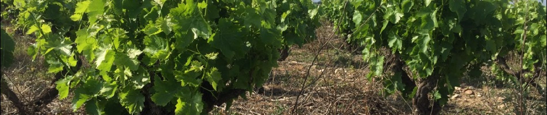
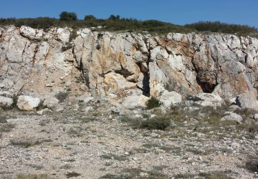
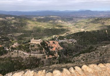
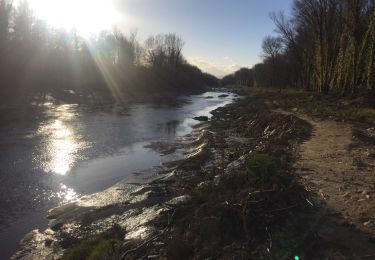
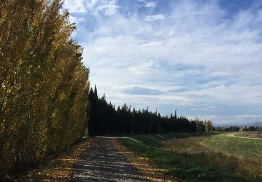
THUIR 66 - LLUPIA - piste cyclable - centre équitation - base ULM - chapelle de VILARMILA - Vinyer de la Capella - Vinyer del Rei - l'Adou


Stappen
Stappen

Stappen

Mountainbike
Stappen

Lopen
Stappen
Stappen
Stappen