21 km | 25 km-effort
Compostelle Montréal a Manciet
Nono55
Gebruiker
Lengte
33 km
Max. hoogte
180 m
Positief hoogteverschil
417 m
Km-Effort
38 km
Min. hoogte
82 m
Negatief hoogteverschil
343 m
Boucle
Neen
Datum van aanmaak :
2024-09-15 06:15:13.0
Laatste wijziging :
2024-09-15 14:34:05.822
5h39
Moeilijkheid : Gemakkelijk
Gratisgps-wandelapplicatie
Over ons
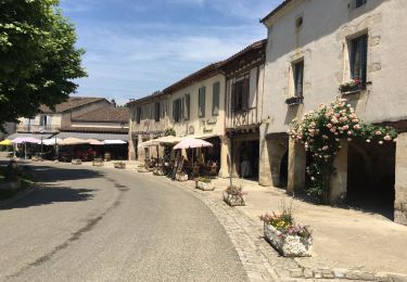
Tocht Stappen van 33 km beschikbaar op Occitanië, Gers, Montréal. Deze tocht wordt voorgesteld door Nono55.
Beschrijving
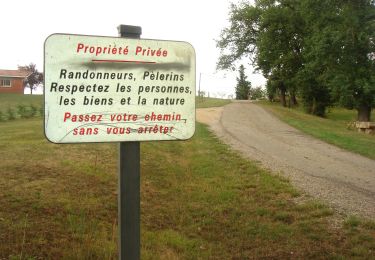
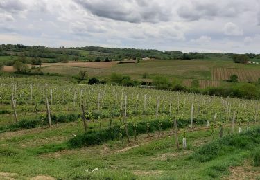
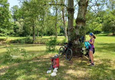
Chemin plat sur ancienne voie fer un peu long puis beau chemin en sous bois et les vignes
Plaatsbepaling
Land:
France
Regio :
Occitanië
Departement/Provincie :
Gers
Gemeente :
Montréal
Locatie:
Unknown
Vertrek:(Dec)
Vertrek:(UTM)
275096 ; 4870077 (31T) N.
Opmerkingen
Wandeltochten in de omgeving
CC_Velay_EF_22_Montreal_Manciet_20080822
Stappen
Gemakkelijk
Montréal,
Occitanië,
Gers,
France
28 km | 33 km-effort
6h 30min
Neen
chemin de la Tenareze à Montréal du gers
Stappen
Heel gemakkelijk
Montréal,
Occitanië,
Gers,
France
10,8 km | 13,1 km-effort
3h 4min
Ja
Montréal - Fourcès - Larressingle
Fiets
Gemakkelijk
Montréal,
Occitanië,
Gers,
France
42 km | 49 km-effort
2h 47min
Ja
Montréal du gers, eauze,aire sur adour,
Mountainbike
Medium
Montréal,
Occitanië,
Gers,
France
68 km | 80 km-effort
9h 21min
Neen
GR 65 Montréal > Eauze
Stappen
Gemakkelijk
Montréal,
Occitanië,
Gers,
France
18 km | 21 km-effort
4h 38min
Neen
Montréal du Gers, sur les traces des romains
Stappen
Gemakkelijk
Montréal,
Occitanië,
Gers,
France
11,5 km | 13,9 km-effort
3h 0min
Ja
St Jacques Étape 27 réalisée
Stappen
Heel gemakkelijk
Montréal,
Occitanië,
Gers,
France
28 km | 33 km-effort
6h 58min
Neen