


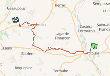

18,8 km | 24 km-effort


Gebruiker


Gratisgps-wandelapplicatie
 SityTrail
IGN / Geografische instituten
SityTrail World
De wereld gaat voor u open
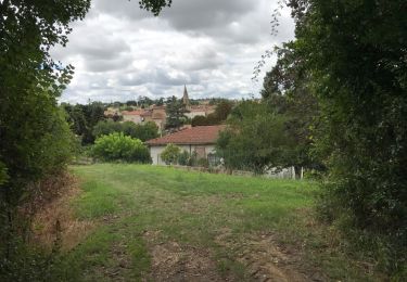
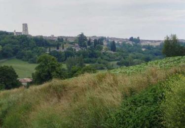
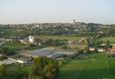
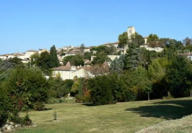
Tocht Stappen van 27 km beschikbaar op Occitanië, Gers, Lectoure. Deze tocht wordt voorgesteld door Nono55.
Petite étape 23 km vallonné quelques montée sèches .Village de Lectoure et Romieu magnifique arrêt au gîte L encre tenue pas des jeunes sympa
Stappen
Stappen
Stappen

Stappen
Stappen
Stappen
Stappen

Stappen