


10,3 km | 24 km-effort

Gebruiker


Gratisgps-wandelapplicatie
 SityTrail
IGN / Geografische instituten
SityTrail World
De wereld gaat voor u open
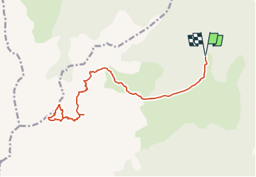
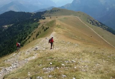
Tocht Te voet van 10,9 km beschikbaar op Auvergne-Rhône-Alpes, Isère, Pellafol. Deze tocht wordt voorgesteld door Yann POUJOL.
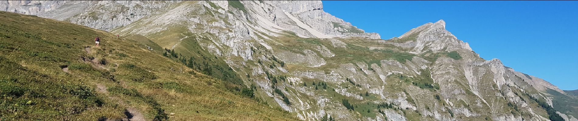
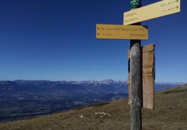
La grande tête de l'Obiou
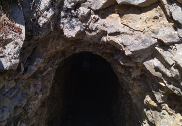
Passage par la grotte du petit Obiou (Mur de glace) s'équipé d'une lampe.
Passage par la chatière (4m d'escalade et passage étroit)


Stappen
Stappen

Stappen

Stappen

Stappen
Stappen
Stappen
Stappen
Stappen