12,5 km | 14,6 km-effort
j7 Bath Skyline, vergers, cimetière
himpececilia
Gebruiker
Lengte
10,7 km
Max. hoogte
171 m
Positief hoogteverschil
257 m
Km-Effort
14,1 km
Min. hoogte
23 m
Negatief hoogteverschil
256 m
Boucle
Ja
Datum van aanmaak :
2024-09-02 10:25:50.22
Laatste wijziging :
2024-09-11 09:30:54.27
3h11
Moeilijkheid : Moeilijk
Gratisgps-wandelapplicatie
Over ons
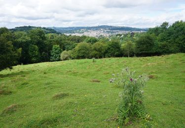
Tocht Stappen van 10,7 km beschikbaar op Engeland, Bath and North East Somerset. Deze tocht wordt voorgesteld door himpececilia.
Plaatsbepaling
Land:
United Kingdom
Regio :
Engeland
Departement/Provincie :
Bath and North East Somerset
Gemeente :
Unknown
Locatie:
Unknown
Vertrek:(Dec)
Vertrek:(UTM)
544835 ; 5693453 (30U) N.
Opmerkingen
Wandeltochten in de omgeving