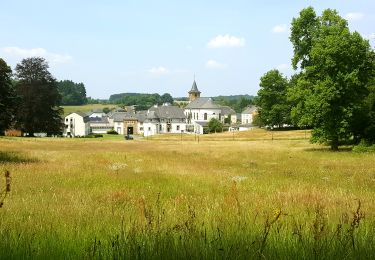
9,4 km | 11 km-effort
Marche ADEPS 10km300 à Saint-Vincent
Bernard Gillet
Gebruiker GUIDE
Lengte
10,3 km
Max. hoogte
396 m
Positief hoogteverschil
136 m
Km-Effort
12,1 km
Min. hoogte
339 m
Negatief hoogteverschil
136 m
Boucle
Ja
Datum van aanmaak :
2024-09-01 07:12:16.022
Laatste wijziging :
2024-09-01 09:12:26.023
1h58
Moeilijkheid : Heel gemakkelijk
Gratisgps-wandelapplicatie
Over ons
Tocht Stappen van 10,3 km beschikbaar op Wallonië, Luxemburg, Tintigny. Deze tocht wordt voorgesteld door Bernard Gillet.
Plaatsbepaling
Land:
Belgium
Regio :
Wallonië
Departement/Provincie :
Luxemburg
Gemeente :
Tintigny
Locatie:
Unknown
Vertrek:(Dec)
Vertrek:(UTM)
678508 ; 5505710 (31U) N.
Opmerkingen
Wandeltochten in de omgeving
À l’ombre de la forêt gaumaise
Stappen
Gemakkelijk
(4)
Tintigny,
Wallonië,
Luxemburg,
Belgium
14,6 km | 17 km-effort
2h 49min
Ja
La Rando du Bian: Autour de Lahage
Stappen
Gemakkelijk
(1)
Tintigny,
Wallonië,
Luxemburg,
Belgium
18,8 km | 22 km-effort
3h 58min
Ja
" Langs de kronkelende Semois"
Te voet
Gemakkelijk
Chiny,
Wallonië,
Luxemburg,
Belgium
11,8 km | 13,8 km-effort
3h 7min
Ja
Wikiloc - Prouvy
Stappen
Gemakkelijk
(1)
Chiny,
Wallonië,
Luxemburg,
Belgium
8,3 km | 9,7 km-effort
2h 12min
Ja
Rossignol bucolique
Te voet
Gemakkelijk
Tintigny,
Wallonië,
Luxemburg,
Belgium
4 km | 4,7 km-effort
1h 3min
Ja
Promenade Tintigny-Han
Te voet
Gemakkelijk
Tintigny,
Wallonië,
Luxemburg,
Belgium
4,4 km | 5 km-effort
1h 7min
Ja
Bellefontaine, Gros Cron, Baraque Payat
Stappen
Medium
Tintigny,
Wallonië,
Luxemburg,
Belgium
19,2 km | 23 km-effort
4h 56min
Ja