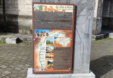
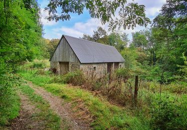
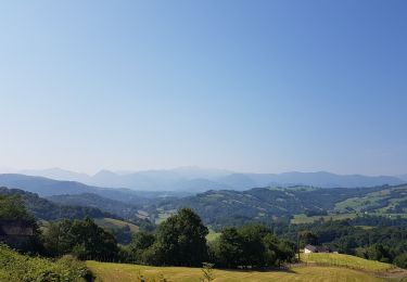
Tocht Te voet Oloron-Sainte-Marie - Compostelle 10/24 Oloron Hopital Ste Blaise 05 - Photo

Compostelle 10/24 Oloron Hopital Ste Blaise 05

 ColetteDocteur
ColetteDocteur

Gebruiker

© OpenStreetMap contributors
Lengte
Lengte
24 km
Max. hoogte
Max. hoogte
257 m
Positief hoogteverschil
326 m
Km-Effort
Km-Effort  
29 km
Min. hoogte
Min. hoogte
150 m
Negatief hoogteverschil
391 m
Boucle
Boucle
Neen
Datum van aanmaak :
2024-08-31 14:20:26.51
Laatste wijziging :
2024-08-31 14:21:46.901

(0 Bericht)

Te voet
Te voet
6h32
Moeilijkheid : Medium

Scan deze QR-code om de tocht te openen in de SityTrail-applicatie

Gratisgps-wandelapplicatie

Logo SityTrail SityTrail

IGN / Geografische instituten

SityTrail uit de App Store downloaden SityTrail uit Google Play downloaden

Logo SityTrail SityTrail World

De wereld gaat voor u open

SityTrail uit de App Store downloaden SityTrail uit Google Play downloaden SityTrail op Huawei AppGallery downloaden

Over ons

Tocht Te voet van 24 km beschikbaar op Nieuw-Aquitanië, Pyrénées-Atlantiques, Oloron-Sainte-Marie. Deze tocht wordt voorgesteld door ColetteDocteur.

Hoogteprofiel

Plaatsbepaling

Land:
France
Regio :
Nieuw-Aquitanië
Departement/Provincie :
Pyrénées-Atlantiques
Gemeente :
Oloron-Sainte-Marie
Locatie:
Unknown
Vertrek:(UTM)
694441 ; 4784957 (30T) N.

Wandeltochten in de omgeving

Tocht Lopen Oloron-Sainte-Marie - OLORON Le camp de Cesar G4
Lopen
GUIDE
marmotte65

Lopen

Heel gemakkelijk
Oloron-Sainte-Marie, Nieuw-Aquitanië, Pyrénées-Atlantiques, France
8,7 km | 12,4 km-effort
2h 58min
Ja
Tocht Te voet Oloron-Sainte-Marie - OLORON / LURBE  - SAINT CHRISTAUD balisage GR 653 balisage - Photo
Te voet
GUIDE
marmotte65

Te voet

Gemakkelijk
Oloron-Sainte-Marie, Nieuw-Aquitanië, Pyrénées-Atlantiques, France
12,9 km | 17,2 km-effort
3h 54min
Neen
Tocht Stappen Oloron-Sainte-Marie - 2023 10 12 CHEMIN du PIÉMONT PYRÉNÉEN - 20ème étape 1ere partie  : Oloron-Ste-Marie - Moumour - Orin - Géronce - St Goin - Gëus d’Oloron - l’Hopital st Blaise - Mauléon-Lichare. - Photo
Stappen
LEGUE

Stappen

Moeilijk
Oloron-Sainte-Marie, Nieuw-Aquitanië, Pyrénées-Atlantiques, France
42 km | 54 km-effort
18h 1min
Neen
Tocht Stappen Oloron-Sainte-Marie - OLORON ST MARIE Terra aventura    - Photo
Stappen
GUIDE
marmotte65

Stappen

Heel gemakkelijk
Oloron-Sainte-Marie, Nieuw-Aquitanië, Pyrénées-Atlantiques, France
4,6 km | 6,1 km-effort
3h 18min
Ja
Tocht Te voet Oloron-Sainte-Marie - OLORON Ecomobilité
Te voet
GUIDE
marmotte65

Te voet

Medium
Oloron-Sainte-Marie, Nieuw-Aquitanië, Pyrénées-Atlantiques, France
15,5 km | 20 km-effort
4h 20min
Ja
Tocht Mountainbike Estos - Tour crètes jusqu'à Louvie - Photo
Mountainbike
claudemen

Mountainbike

Zeer moeilijk
(1)
Estos, Nieuw-Aquitanië, Pyrénées-Atlantiques, France
58 km | 70 km-effort
4h 49min
Neen
Tocht Stappen Escout - Pont du Diable - Photo
Stappen
HaschKnight

Stappen

Gemakkelijk
Escout, Nieuw-Aquitanië, Pyrénées-Atlantiques, France
5,6 km | 6,6 km-effort
57min
Ja
Tocht Te voet Oloron-Sainte-Marie - Move - Photo
Te voet
GUIDE
marmotte65

Te voet

Gemakkelijk
Oloron-Sainte-Marie, Nieuw-Aquitanië, Pyrénées-Atlantiques, France
8,4 km | 12,2 km-effort
2h 45min
Ja
Tocht Fietstoerisme Oloron-Sainte-Marie - Oloron - St-Palais - Photo
Fietstoerisme
karawatsj

Fietstoerisme

Moeilijk
Oloron-Sainte-Marie, Nieuw-Aquitanië, Pyrénées-Atlantiques, France
55 km | 67 km-effort
3h 22min
Neen


Sluiten
Mijn abonnementen