


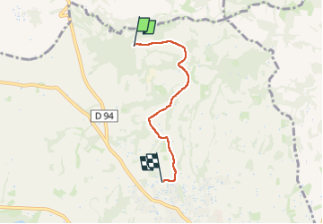

5,4 km | 7 km-effort


Gebruiker


Gratisgps-wandelapplicatie
 SityTrail
IGN / Geografische instituten
SityTrail World
De wereld gaat voor u open
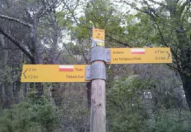
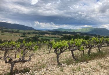
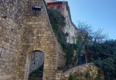
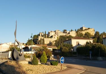
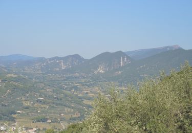
Tocht Noords wandelen van 3,7 km beschikbaar op Provence-Alpes-Côte d'Azur, Vaucluse, Vaison-la-Romaine. Deze tocht wordt voorgesteld door JacquesNoblia.
nordique
Stappen
Fiets
Fiets

Fiets

Stappen
Wegfiets
Stappen
Stappen
Stappen