


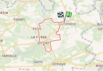


19,3 km | 26 km-effort

Gebruiker GUIDE


Gratisgps-wandelapplicatie
 SityTrail
IGN / Geografische instituten
SityTrail World
De wereld gaat voor u open
Tocht Stappen van 10,5 km beschikbaar op Wallonië, Namen, Onhaye. Deze tocht wordt voorgesteld door Desrumaux.
Très jolie balade au départ du village de Sommière vers le village de Weillen dans l'entité d'Onhaye en province de Namur.


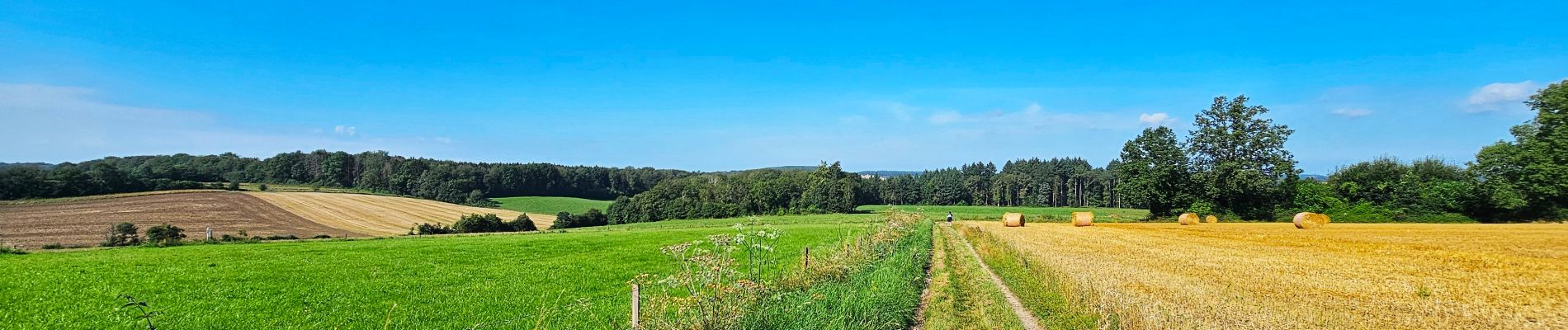
30 fotos in totaal. Klik op een foto om ze allemaal in de galerij weer te geven.

Stappen

Stappen

Stappen

Stappen

Stappen

Stappen

Stappen

Stappen

Stappen