


8,4 km | 10,5 km-effort


Gebruiker


Gratisgps-wandelapplicatie
 SityTrail
IGN / Geografische instituten
SityTrail World
De wereld gaat voor u open
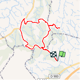
Tocht Stappen van 9,1 km beschikbaar op Occitanië, Pyrénées-Orientales, Le Boulou. Deze tocht wordt voorgesteld door jeff66.
LE BOULOU - TRESSERRE - 66 - La bataille du BOULOU (1794)
Balcon sur les Albères, la côte, la plaine du Roussillon, les Aspres et le Canigou - ruisseau la Valmagne
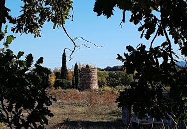
 - Photo 1")
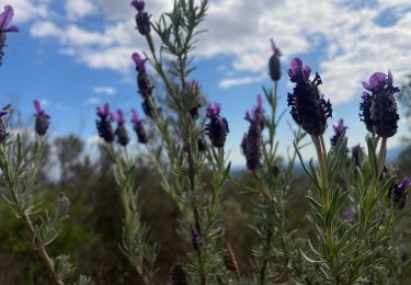
 - Photo 2")
 - Photo 3")
 - Photo 4")
 - Photo 5")
 - Photo 6")
 - Photo 7")
 - Photo 8")
 - Photo 9")
 - Photo 10")
 - Photo 11")
 - Photo 12")
 - Photo 13")
 - Photo 14")

Stappen

Stappen

Stappen

Stappen
Stappen
Stappen

Stappen

Hybride fiets

Stappen