


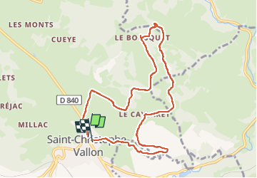

11,7 km | 17,7 km-effort

Gebruiker


Gratisgps-wandelapplicatie
 SityTrail
IGN / Geografische instituten
SityTrail World
De wereld gaat voor u open
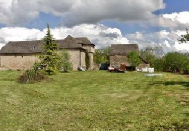
Tocht Stappen van 9,7 km beschikbaar op Occitanië, Aveyron, Saint-Christophe-Vallon. Deze tocht wordt voorgesteld door JamesVautier.
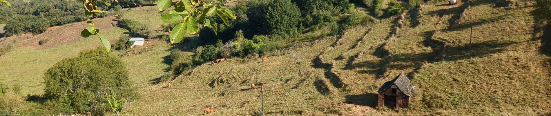
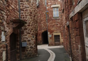
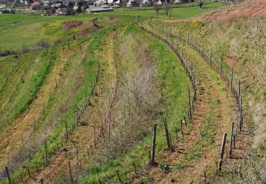
magnifique

Stappen

Te voet

Te voet

Te voet

Te voet

Te voet
Stappen

Stappen
Stappen