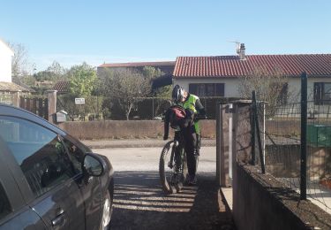
44 km | 57 km-effort
camares orient
pcabot
Gebruiker
Lengte
46 km
Max. hoogte
724 m
Positief hoogteverschil
850 m
Km-Effort
57 km
Min. hoogte
332 m
Negatief hoogteverschil
850 m
Boucle
Neen
Datum van aanmaak :
2024-08-19 14:44:03.664
Laatste wijziging :
2024-08-19 17:21:15.18
2h36
Moeilijkheid : Medium
Gratisgps-wandelapplicatie
Over ons
Tocht Mountainbike van 46 km beschikbaar op Occitanië, Aveyron, Montlaur. Deze tocht wordt voorgesteld door pcabot.
Plaatsbepaling
Land:
France
Regio :
Occitanië
Departement/Provincie :
Aveyron
Gemeente :
Montlaur
Locatie:
Unknown
Vertrek:(Dec)
Vertrek:(UTM)
485333 ; 4858970 (31T) N.
Opmerkingen
Wandeltochten in de omgeving
RS Gazels lac
Stappen
Medium
Montlaur,
Occitanië,
Aveyron,
France
5,2 km | 6,2 km-effort
1h 23min
Ja
Rebourguil 2023
Stappen
Zeer moeilijk
Rebourguil,
Occitanië,
Aveyron,
France
22 km | 31 km-effort
7h 7min
Ja
ASPTT du 2023/09/24
Stappen
Medium
Montlaur,
Occitanië,
Aveyron,
France
11,3 km | 14,4 km-effort
2h 44min
Ja
montlaur senégas
Mountainbike
Medium
Montlaur,
Occitanië,
Aveyron,
France
25 km | 29 km-effort
1h 17min
Ja
20120812
Mountainbike
Gemakkelijk
Montlaur,
Occitanië,
Aveyron,
France
19,8 km | 25 km-effort
1h 50min
Ja
Gissac les crêtes 41km/+950
Mountainbike
Medium
Montlaur,
Occitanië,
Aveyron,
France
41 km | 54 km-effort
3h 23min
Ja