


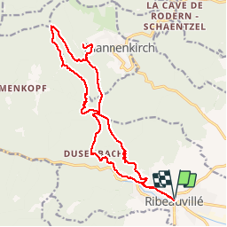

19,3 km | 24 km-effort

Gebruiker


Gratisgps-wandelapplicatie
 SityTrail
IGN / Geografische instituten
SityTrail World
De wereld gaat voor u open
Tocht Stappen van 19,8 km beschikbaar op Grand Est, Haut-Rhin, Ribeauvillé. Deze tocht wordt voorgesteld door markrei.
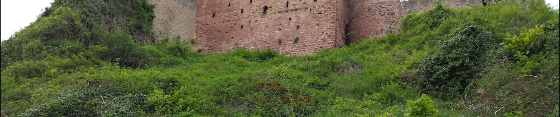
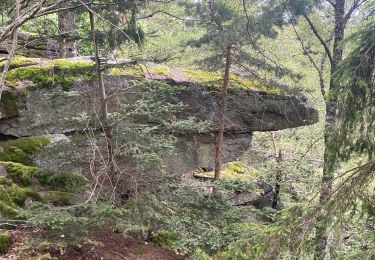
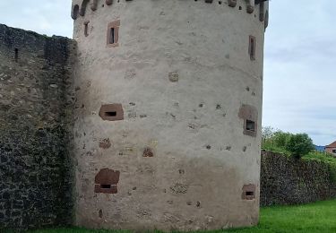
Ribeauvillé - N-D Dusenbach - Carref Cerisier Noir - Rocher de la Paix - Rocher des Titans - Rocher des géants - Melkerhof - Château Haut Ribeaupierre, St Ulrich, Girsberg - Ribeauvillé
guide : Paul Weiss


Mountainbike

Stappen

Stappen

Stappen
Stappen
Stappen

sport
Stappen

Stappen