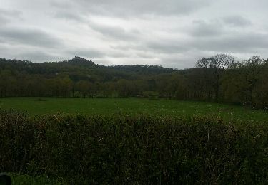
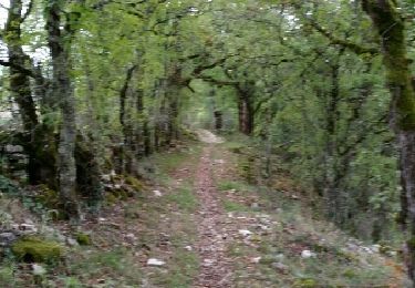
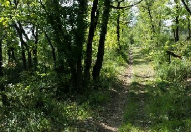
10,7 km | 13,9 km-effort
lamagdelaine, vers
francislassauce
Gebruiker
Lengte
33 km
Max. hoogte
355 m
Positief hoogteverschil
607 m
Km-Effort
41 km
Min. hoogte
116 m
Negatief hoogteverschil
603 m
Boucle
Ja
Datum van aanmaak :
2024-08-10 08:28:57.308
Laatste wijziging :
2024-08-10 10:48:41.999
2h19
Moeilijkheid : Zeer moeilijk
Gratisgps-wandelapplicatie
Over ons
Tocht Mountainbike van 33 km beschikbaar op Occitanië, Lot, Lamagdelaine. Deze tocht wordt voorgesteld door francislassauce.
Beschrijving
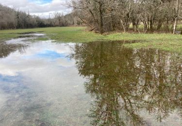
beaucoup de sous bois, très agréable l'été par forte chaleur
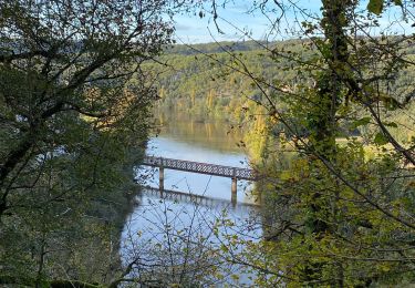
Plaatsbepaling
Land:
France
Regio :
Occitanië
Departement/Provincie :
Lot
Gemeente :
Lamagdelaine
Locatie:
Unknown
Vertrek:(Dec)
Vertrek:(UTM)
379345 ; 4924711 (31T) N.
Opmerkingen
Wandeltochten in de omgeving
Galessie les Mazuts Barouillet
Stappen
Heel gemakkelijk
Arcambal,
Occitanië,
Lot,
France
2h 30min
Ja
Larroque des arcs constant valroufie
Stappen
Heel gemakkelijk
Bellefont-La Rauze,
Occitanië,
Lot,
France
11,6 km | 15 km-effort
2h 38min
Ja
Croix magne
Stappen
Heel gemakkelijk
Cahors,
Occitanië,
Lot,
France
5,2 km | 7,2 km-effort
1h 20min
Neen
Étape Cahors Lascabannes
Stappen
Gemakkelijk
Cahors,
Occitanië,
Lot,
France
23 km | 30 km-effort
18h 50min
Neen
Moulin de Nouaillac
Stappen
Medium
(1)
Saint-Géry-Vers,
Occitanië,
Lot,
France
13,3 km | 18,5 km-effort
4h 0min
Ja
ballade touristique
Motor
Heel gemakkelijk
Cahors,
Occitanië,
Lot,
France
78 km | 95 km-effort
1h 45min
Neen
QUERCY (Nouaillac)
Stappen
Gemakkelijk
Saint-Géry-Vers,
Occitanië,
Lot,
France
11,7 km | 15,4 km-effort
3h 19min
Ja
QUERCY Vers)
Stappen
Gemakkelijk
Saint-Géry-Vers,
Occitanië,
Lot,
France
5,8 km | 8,4 km-effort
1h 49min
Ja