


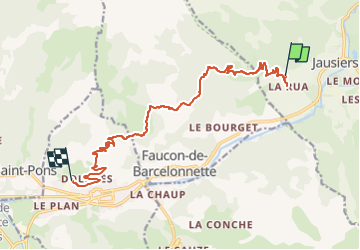

7,8 km | 13,4 km-effort

Gebruiker


Gratisgps-wandelapplicatie
 SityTrail
IGN / Geografische instituten
SityTrail World
De wereld gaat voor u open
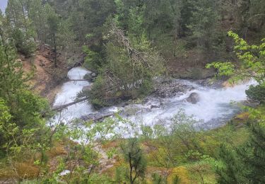
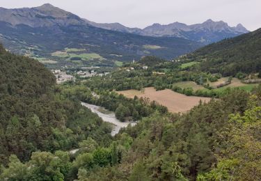
Tocht Elektrische fiets van 14,1 km beschikbaar op Provence-Alpes-Côte d'Azur, Alpes-de-Haute-Provence, Jausiers. Deze tocht wordt voorgesteld door Yves Locati.
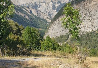
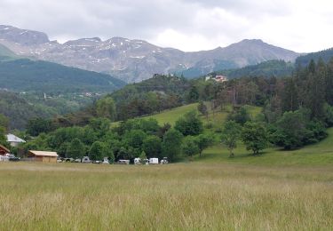
magnifique parcours,distance réelle
24km. pistes carrossables . efforts moyens.traverseés de petits hameaux magnifiques.


Stappen
Mountainbike

Stappen
Stappen
Stappen
Stappen
Stappen
Stappen
Stappen