


7,3 km | 7,8 km-effort


Gebruiker


Gratisgps-wandelapplicatie
 SityTrail
IGN / Geografische instituten
SityTrail World
De wereld gaat voor u open
Tocht Stappen van 15,3 km beschikbaar op Occitanië, Hérault, Lunel. Deze tocht wordt voorgesteld door jeff66.
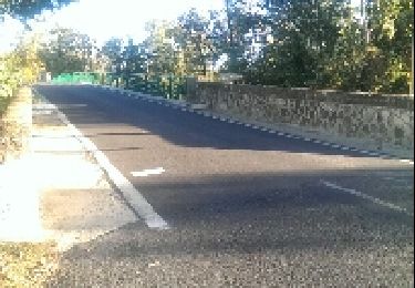
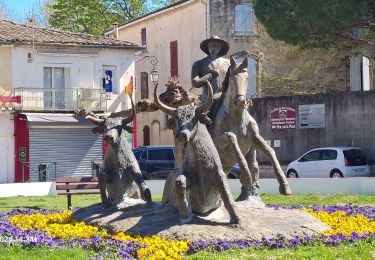
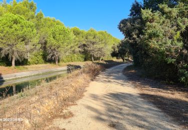
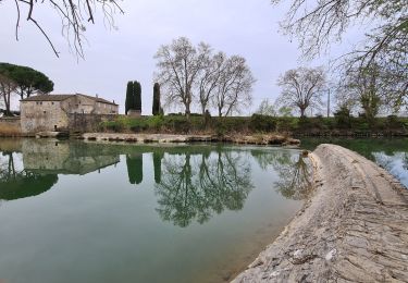
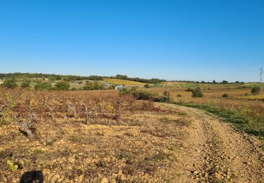
LUNEL 34 - mas de Chambon - le petit bois - canal du bas Rhône Ph. LAMOUR - LUNEL-VIEL - Château d'Eau - tour de Farges - VALERGUES - Les 3 ponts - cimetière - Mas d'Ensuque - LUNEL - chemin du jeu de mail - stade Fernand Brunel - L'Oustal - la gare -
Stappen

Mountainbike
Stappen

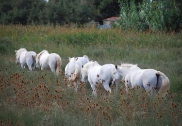
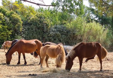
Paard
Stappen
Stappen
Stappen
Stappen
Stappen