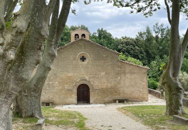
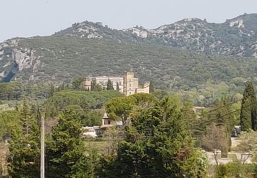
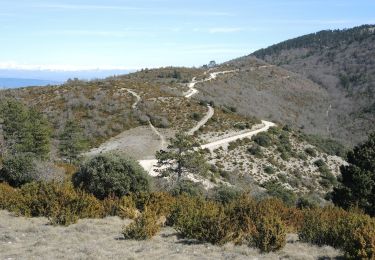
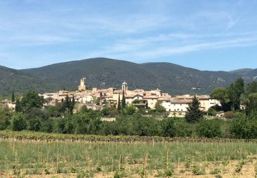
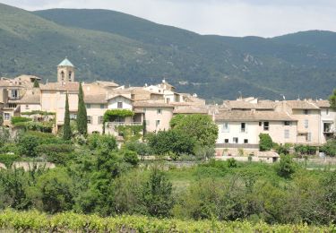
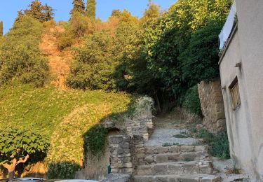
Tocht Mountainbike Lourmarin - Lourmarin -Mourre Negre- Auribeau- AiguëBrun - Photo

Lourmarin -Mourre Negre- Auribeau- AiguëBrun

 DG01
DG01

Gebruiker

© OpenStreetMap contributors
Lengte
Lengte
44 km
Max. hoogte
Max. hoogte
1102 m
Positief hoogteverschil
1238 m
Km-Effort
Km-Effort  
61 km
Min. hoogte
Min. hoogte
201 m
Negatief hoogteverschil
1244 m
Boucle
Boucle
Neen
Datum van aanmaak :
2024-08-05 05:49:10.0
Laatste wijziging :
2024-08-05 10:33:06.389

(0 Bericht)

Mountainbike
Mountainbike
4h12
Moeilijkheid : Zeer moeilijk

Scan deze QR-code om de tocht te openen in de SityTrail-applicatie

Gratisgps-wandelapplicatie

Logo SityTrail SityTrail

IGN / Geografische instituten

SityTrail uit de App Store downloaden SityTrail uit Google Play downloaden

Logo SityTrail SityTrail World

De wereld gaat voor u open

SityTrail uit de App Store downloaden SityTrail uit Google Play downloaden SityTrail op Huawei AppGallery downloaden

Over ons

Tocht Mountainbike van 44 km beschikbaar op Provence-Alpes-Côte d'Azur, Vaucluse, Lourmarin. Deze tocht wordt voorgesteld door DG01.

Beschrijving

Depuis Cucuron, monter le DFCI (1h30 environ) jusqu’au Mourre Negre, puis descendre le chemin de Marauviere (début quelconque, mais devient ensuite un super single (2-3 passages à pied) jusqu’à Auribeau).
Remonter légèrement jusqu’à la chapelle pour ensuite descendre le long de L’Aigue Brun (magnifique single, mais attention aux randonneurs).
En résumé, tour absolument magnifique pour la beauté des paysages, les singles de qualité, mais exigeant.

Hoogteprofiel

Plaatsbepaling

Land:
France
Regio :
Provence-Alpes-Côte d'Azur
Departement/Provincie :
Vaucluse
Gemeente :
Lourmarin
Locatie:
Unknown
Vertrek:(Dec)
Vertrek:(UTM)
690687 ; 4849185 (31T) N.

Wandeltochten in de omgeving

Tocht Stappen Cadenet - Cadenet -Lourmarin - Photo
Stappen

Stappen

Heel gemakkelijk
(1)
Cadenet, Provence-Alpes-Côte d'Azur, Vaucluse, France
12,1 km | 15,3 km-effort
5h 43min
Ja
Tocht Stappen Vaugines - Vaugines - roque rousse. -  Vaugines - Photo
Stappen
Dadou 1

Stappen

Medium
Vaugines, Provence-Alpes-Côte d'Azur, Vaucluse, France
6 km | 9 km-effort
2h 3min
Ja
Tocht Stappen Vaugines - SityTrail - PF-Vaugines - Le Mourre Nègre à partir de Vaugines - Var - Photo
Stappen
MicDul

Stappen

Zeer moeilijk
(1)
Vaugines, Provence-Alpes-Côte d'Azur, Vaucluse, France
20 km | 32 km-effort
7h 14min
Ja
Tocht Te voet Lourmarin - Lourmarin - Cadenet - Lourmarin  - Photo
Te voet
Dadou 1

Te voet

Gemakkelijk
Lourmarin, Provence-Alpes-Côte d'Azur, Vaucluse, France
11,5 km | 14,6 km-effort
3h 19min
Ja
Tocht Stappen Vaugines - Luberon Vaugines Cucuron  - Photo
Stappen
jll7513

Stappen

Gemakkelijk
Vaugines, Provence-Alpes-Côte d'Azur, Vaucluse, France
10,6 km | 14 km-effort
3h 11min
Ja
Tocht Stappen Vaugines - PF-Vaugines - Cucuron - l'Ermitage - Vaugines - 17.06.2021 - Photo
Stappen
MicDul

Stappen

Medium
(1)
Vaugines, Provence-Alpes-Côte d'Azur, Vaucluse, France
8,3 km | 10,8 km-effort
2h 22min
Ja
Tocht Stappen Cadenet - Cadenet Lourmarin Cadenet - Photo
Stappen
jll7513

Stappen

Gemakkelijk
Cadenet, Provence-Alpes-Côte d'Azur, Vaucluse, France
10,5 km | 13,3 km-effort
3h 1min
Ja
Tocht Mountainbike Lourmarin - lourmarin-émetteur Mourre Nègre - Photo
Mountainbike
Papou27

Mountainbike

Moeilijk
Lourmarin, Provence-Alpes-Côte d'Azur, Vaucluse, France
38 km | 53 km-effort
3h 24min
Ja
Tocht Fiets Lourmarin - Lourmarin par Cucuron - Photo
Fiets
rikkitis

Fiets

Gemakkelijk
(2)
Lourmarin, Provence-Alpes-Côte d'Azur, Vaucluse, France
19,2 km | 23 km-effort
2h 0min
Ja


Sluiten
Mijn abonnementen