


15,3 km | 17,6 km-effort

Gebruiker


Gratisgps-wandelapplicatie
 SityTrail
IGN / Geografische instituten
SityTrail World
De wereld gaat voor u open
Tocht Stappen van 7,8 km beschikbaar op Centre-Val de Loire, Loir-et-Cher, Valloire-sur-Cisse. Deze tocht wordt voorgesteld door guydu41.
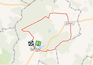
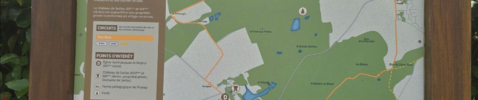
Départ depuis le parking à côté de la Mairie Rue Fernand Boulon, 41150 Seillac.
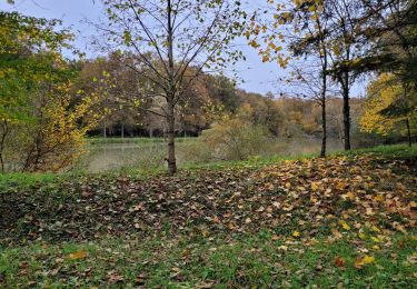
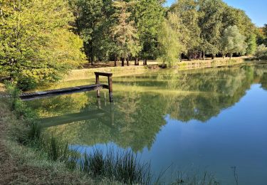
Ce circuit en sens antihoraire très bien balisé (remarquable) emprunte des chemins et de nombreux sentiers à travers champs et plusieurs bois.
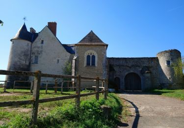
Il passe à côté de l'Eglise Saint-Jacques de Seillac et du très beau "Camping Ferme Pédagogique de Prunay" situé en pleine nature.


Stappen

Stappen
Stappen
Stappen

Te voet

Stappen

Stappen

Stappen

Stappen