Tocht Vliegtuig Unknown - 333333333 - Photo
 jcm17
jcm17

Gebruiker

© OpenStreetMap contributors
Lengte
Lengte
884 km
Max. hoogte
Max. hoogte
978 m
Positief hoogteverschil
23690 m
Km-Effort
Km-Effort  
1200 km
Min. hoogte
Min. hoogte
41 m
Negatief hoogteverschil
23933 m
Boucle
Boucle
Neen
Datum van aanmaak :
2024-06-13 11:05:45.703
Laatste wijziging :
2024-08-02 17:36:11.816

(0 Bericht)

Vliegtuig
Vliegtuig
1h46
Moeilijkheid : Heel gemakkelijk

Scan deze QR-code om de tocht te openen in de SityTrail-applicatie

Gratisgps-wandelapplicatie

Logo SityTrail SityTrail

IGN / Geografische instituten

SityTrail uit de App Store downloaden SityTrail uit Google Play downloaden

Logo SityTrail SityTrail World

De wereld gaat voor u open

SityTrail uit de App Store downloaden SityTrail uit Google Play downloaden SityTrail op Huawei AppGallery downloaden

Over ons

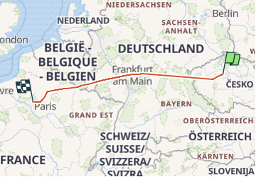
Tocht Vliegtuig van 884 km beschikbaar op Praha, Praag. Deze tocht wordt voorgesteld door jcm17.

Hoogteprofiel

Plaatsbepaling

Land:
Czech Republic
Regio :
Praha
Departement/Provincie :
Praag
Gemeente :
Unknown
Locatie:
Unknown
Vertrek:(UTM)
447303 ; 5550899 (33U) N.

Wandeltochten in de omgeving

Tocht Auto  - Prague 1 - Photo
Auto
jcm17

Auto

Heel gemakkelijk
, Praha, Praag, Czech Republic
16,3 km | 18,3 km-effort
50min
Neen


Sluiten
Mijn abonnementen