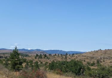
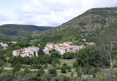
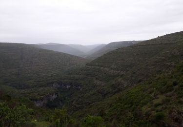
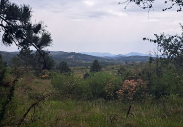
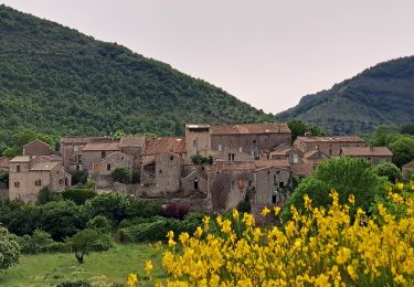
10,6 km | 14,5 km-effort
Sentier du Belvédère de Blandas 2
BernardSalomon
Gebruiker
Lengte
11 km
Max. hoogte
669 m
Positief hoogteverschil
406 m
Km-Effort
16,4 km
Min. hoogte
326 m
Negatief hoogteverschil
406 m
Boucle
Ja
Datum van aanmaak :
2015-04-30 00:00:00.0
Laatste wijziging :
2015-04-30 00:00:00.0
3h38
Moeilijkheid : Medium
Gratisgps-wandelapplicatie
Over ons
Tocht Stappen van 11 km beschikbaar op Occitanië, Gard, Blandas. Deze tocht wordt voorgesteld door BernardSalomon.
Beschrijving
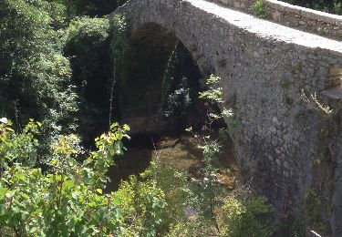
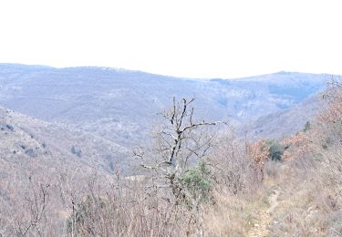
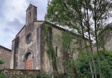
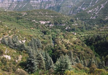
Boucle depuis Blandas
Plaatsbepaling
Land:
France
Regio :
Occitanië
Departement/Provincie :
Gard
Gemeente :
Blandas
Locatie:
Unknown
Vertrek:(Dec)
Vertrek:(UTM)
541163 ; 4862203 (31T) N.
Opmerkingen
Wandeltochten in de omgeving
cirque de Navacelles
Stappen
Medium
(1)
Saint-Maurice-Navacelles,
Occitanië,
Hérault,
France
3h 17min
Ja
sentier du Regagnas
Stappen
Medium
Vissec,
Occitanië,
Gard,
France
10,8 km | 15 km-effort
3h 40min
Ja
Navacelles Vissec par le chemin du facteur
Te voet
Medium
Saint-Maurice-Navacelles,
Occitanië,
Hérault,
France
17,7 km | 25 km-effort
5h 46min
Ja
Randonnée Cirque de Navacelles - Causse de Blandas - Vissec - Moulin de la Foux
Te voet
Medium
Blandas,
Occitanië,
Gard,
France
19 km | 26 km-effort
6h 0min
Ja
Causse de Blandas et Vallée de la Vis
Stappen
Moeilijk
Blandas,
Occitanië,
Gard,
France
19,1 km | 27 km-effort
6h 27min
Ja
Vissec / Moulin de la Foux
Stappen
Medium
Blandas,
Occitanië,
Gard,
France
12,9 km | 19,4 km-effort
3h 41min
Ja
Bois de calot rouge
Stappen
Medium
Blandas,
Occitanië,
Gard,
France
11 km | 15,5 km-effort
2h 58min
Ja
Vissec à Navacelle
Stappen
Moeilijk
Vissec,
Occitanië,
Gard,
France
19,8 km | 28 km-effort
6h 29min
Ja
très bonne application le mode hors ligne est très intéressant... il faut juste apprendre à le maitriser