


11,6 km | 13 km-effort


Gebruiker GUIDE


Gratisgps-wandelapplicatie
 SityTrail
IGN / Geografische instituten
SityTrail World
De wereld gaat voor u open
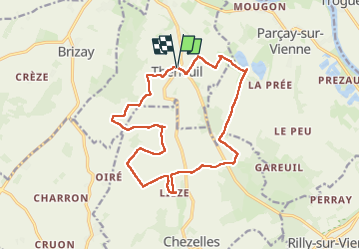
Tocht Stappen van 16,6 km beschikbaar op Centre-Val de Loire, Indre-et-Loire, Theneuil. Deze tocht wordt voorgesteld door Orcal37.
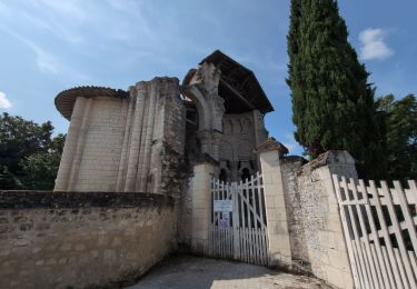
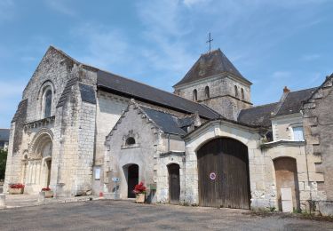
Theneuil - PR jusqu'à la Samsonnière - Lièze - 16.6km 275m 3h40 (1h05) - 2024 07 28
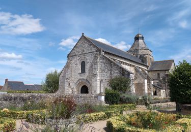
 - 2024 07 28 - Photo 1")
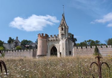
 - 2024 07 28 - Photo 2")
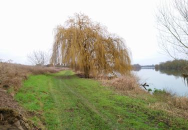
 - 2024 07 28 - Photo 3")
 - 2024 07 28 - Photo 4")
 - 2024 07 28 - Photo 5")
 - 2024 07 28 - Photo 6")
 - 2024 07 28 - Photo 7")
 - 2024 07 28 - Photo 8")
 - 2024 07 28 - Photo 9")
 - 2024 07 28 - Photo 10")
Stappen

Stappen
Stappen
Stappen
Stappen
Stappen

Mountainbike

Stappen
Fietstoerisme