![](/images/other/stat-length.png)
![Tocht Stappen L'Île-Bouchard - l'île-Bouchard - Brizay Theneuil Parçay-sur-Vienne - 24km 300m 5h10 (1h05) - 2024 07 24 - Photo](https://media.geolcdn.com/t/1900/400/58cfa1f3-c850-4e1f-95d7-8dc1096183f9.jpg&format=pjpeg&maxdim=2)
l'île-Bouchard - Brizay Theneuil Parçay-sur-Vienne - 24km 300m 5h10 (1h05) - 2024 07 24
Orcal37
Gebruiker GUIDE
![Lengte](/images/other/stat-length.png)
Lengte
24 km
![Max. hoogte](https://static1.geolcdn.com/siteimages/upload/files/1508320355ic_sort_altitude_max_24dp.png)
Max. hoogte
107 m
![Positief hoogteverschil](https://static1.geolcdn.com/siteimages/upload/files/1508320355ic_sort_den_pos_24dp.png)
Positief hoogteverschil
301 m
![Km-Effort](/images/other/stat-length.png)
Km-Effort
28 km
![Min. hoogte](https://static1.geolcdn.com/siteimages/upload/files/1508320355ic_sort_altitude_min_24dp.png)
Min. hoogte
32 m
![Negatief hoogteverschil](https://static1.geolcdn.com/siteimages/upload/files/1508320355ic_sort_den_neg_24dp.png)
Negatief hoogteverschil
300 m
![Boucle](https://static1.geolcdn.com/siteimages/upload/files/16400158638029165_repeat_loop_refresh_sync_direction_icon.png)
Boucle
Ja
Datum van aanmaak :
2024-07-24 08:11:28.766
Laatste wijziging :
2024-07-24 21:21:47.081
![Stappen](https://static1.geolcdn.com/sitytour/trail-icons/101.png)
5h10
Moeilijkheid : Gemakkelijk
![Scan deze QR-code om de tocht te openen in de SityTrail-applicatie](https://capi.geolives.com/qq0zvz2zws4bq2lad0pu/sitytour/trails/4133330/qr.png?size=200)
Gratisgps-wandelapplicatie
Over ons
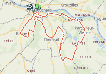
Tocht Stappen van 24 km beschikbaar op Centre-Val de Loire, Indre-et-Loire, L'Île-Bouchard. Deze tocht wordt voorgesteld door Orcal37.
Beschrijving
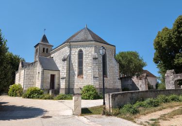
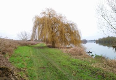
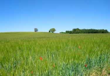
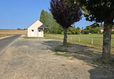
l'île-Bouchard - Brizay - Theneuil - Parçay-sur-Vienne - il y a 700m de "grande" route entre Parçay et Mougon avec un bas côté correct - 24km 300m 5h10 (1h05) - 2024 07 24
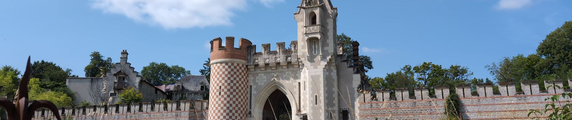
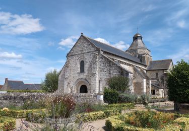
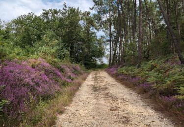
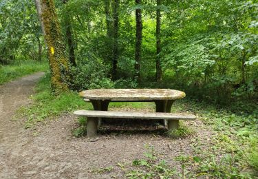
Plaatsbepaling
Land:
France
Regio :
Centre-Val de Loire
Departement/Provincie :
Indre-et-Loire
Gemeente :
L'Île-Bouchard
Locatie:
Unknown
Vertrek:(Dec)
Vertrek:(UTM)
304163 ; 5221433 (31T) N.
Opmerkingen
Wandeltochten in de omgeving
![Tocht Stappen Tavant - Tavant - Sazilly PM - 11.6km 105m 2h25 - 2024 08 07 - Photo](https://media.geolcdn.com/t/375/260/abc5bc1f-e7e4-4fe4-9ad9-f3c8d4bd0cfd.jpg&format=jpg&maxdim=2)
![Stappen Stappen](https://static1.geolcdn.com/sitytour/trail-icons/101.png)
Tavant - Sazilly PM - 11.6km 105m 2h25 - 2024 08 07
Stappen
Gemakkelijk
Tavant,
Centre-Val de Loire,
Indre-et-Loire,
France
![](/images/other/stat-length.png)
11,6 km | 13 km-effort
2h 25min
![](https://static1.geolcdn.com/siteimages/upload/files/16400158638029165_repeat_loop_refresh_sync_direction_icon.png)
Ja
![Tocht Stappen Panzoult - Panzoult - Zig zag Bois de Juche-Pie - 14.8km 270m 3h15 (50mn) - 2024 07 31 - Photo](https://media.geolcdn.com/t/375/260/677c1551-8a40-4fb1-a141-bc0abd35b1fa.jpg&format=jpg&maxdim=2)
![Stappen Stappen](https://static1.geolcdn.com/sitytour/trail-icons/101.png)
Panzoult - Zig zag Bois de Juche-Pie - 14.8km 270m 3h15 (50mn) - 2024 07 31
Stappen
Medium
Panzoult,
Centre-Val de Loire,
Indre-et-Loire,
France
![](/images/other/stat-length.png)
14,9 km | 18,5 km-effort
3h 15min
![](https://static1.geolcdn.com/siteimages/upload/files/16400158638029165_repeat_loop_refresh_sync_direction_icon.png)
Ja
![Tocht Stappen Brizay - Brizay - la Neuptière Cléré Crèze PM - 11km 140m 2h15 - 2024 07 28 - Photo](https://media.geolcdn.com/t/375/260/68625c21-f666-455e-ae41-78fb9daee64e.jpg&format=jpg&maxdim=2)
![Stappen Stappen](https://static1.geolcdn.com/sitytour/trail-icons/101.png)
Brizay - la Neuptière Cléré Crèze PM - 11km 140m 2h15 - 2024 07 28
Stappen
Gemakkelijk
Brizay,
Centre-Val de Loire,
Indre-et-Loire,
France
![](/images/other/stat-length.png)
11 km | 12,9 km-effort
2h 15min
![](https://static1.geolcdn.com/siteimages/upload/files/16400158638029165_repeat_loop_refresh_sync_direction_icon.png)
Ja
![Tocht Stappen Theneuil - Theneuil - la Samsonnière Lièze AM - 16.6km 275m 3h40 (1h05) - 2024 07 28 - Photo](https://media.geolcdn.com/t/375/260/24ea2941-4964-484f-9cf6-7c787a9137c4.jpg&format=jpg&maxdim=2)
![Stappen Stappen](https://static1.geolcdn.com/sitytour/trail-icons/101.png)
Theneuil - la Samsonnière Lièze AM - 16.6km 275m 3h40 (1h05) - 2024 07 28
Stappen
Gemakkelijk
Theneuil,
Centre-Val de Loire,
Indre-et-Loire,
France
![](/images/other/stat-length.png)
16,6 km | 20 km-effort
3h 40min
![](https://static1.geolcdn.com/siteimages/upload/files/16400158638029165_repeat_loop_refresh_sync_direction_icon.png)
Ja
![Tocht Stappen Crouzilles - Crouzilles - St-Gilles GR48 Mougon Trogues Beauvais - 22km 175m 4h45 - 2022 01 22 - Photo](https://media.geolcdn.com/t/375/260/24b1ce6d-1612-4107-9a27-8859bd4a3123.jpg&format=jpg&maxdim=2)
![Stappen Stappen](https://static1.geolcdn.com/sitytour/trail-icons/101.png)
Crouzilles - St-Gilles GR48 Mougon Trogues Beauvais - 22km 175m 4h45 - 2022 0...
Stappen
Gemakkelijk
Crouzilles,
Centre-Val de Loire,
Indre-et-Loire,
France
![](/images/other/stat-length.png)
22 km | 24 km-effort
4h 45min
![](https://static1.geolcdn.com/siteimages/upload/files/16400158638029165_repeat_loop_refresh_sync_direction_icon.png)
Ja
![Tocht Stappen Panzoult - Panzoult - GR48 PR Avon-les-Roches St-Gilles - 21.5km 265m 4h30 - 2022 01 15 - Photo](https://media.geolcdn.com/t/375/260/95b9f3f6-7463-4c37-9033-2074d373505a.jpg&format=jpg&maxdim=2)
![Stappen Stappen](https://static1.geolcdn.com/sitytour/trail-icons/101.png)
Panzoult - GR48 PR Avon-les-Roches St-Gilles - 21.5km 265m 4h30 - 2022 01 15
Stappen
Gemakkelijk
Panzoult,
Centre-Val de Loire,
Indre-et-Loire,
France
![](/images/other/stat-length.png)
21 km | 25 km-effort
4h 30min
![](https://static1.geolcdn.com/siteimages/upload/files/16400158638029165_repeat_loop_refresh_sync_direction_icon.png)
Ja
![Tocht Stappen Avon-les-Roches - Avon-les-Roches - Au pays des lavoirs - circuit court - 10.9km 130m 2h35 - 2019 06 01 - Photo](https://media.geolcdn.com/t/375/260/6c34328e-f641-4856-bd13-212bbd01020b.jpg&format=jpg&maxdim=2)
![Stappen Stappen](https://static1.geolcdn.com/sitytour/trail-icons/101.png)
Avon-les-Roches - Au pays des lavoirs - circuit court - 10.9km 130m 2h35 - 20...
Stappen
Heel gemakkelijk
Avon-les-Roches,
Centre-Val de Loire,
Indre-et-Loire,
France
![](/images/other/stat-length.png)
10,9 km | 12,7 km-effort
2h 35min
![](https://static1.geolcdn.com/siteimages/upload/files/16400158638029165_repeat_loop_refresh_sync_direction_icon.png)
Ja
![Tocht Stappen Avon-les-Roches - Avon-les-Roches - Lavoirs et Collégiale des Roches Tranchelion - Photo](https://media.geolcdn.com/t/375/260/6d5be714-f66b-4675-8dc9-c78fa6172894.jpg&format=jpg&maxdim=2)
![Stappen Stappen](https://static1.geolcdn.com/sitytour/trail-icons/101.png)
Avon-les-Roches - Lavoirs et Collégiale des Roches Tranchelion
Stappen
Medium
Avon-les-Roches,
Centre-Val de Loire,
Indre-et-Loire,
France
![](/images/other/stat-length.png)
11,8 km | 13,8 km-effort
3h 8min
![](https://static1.geolcdn.com/siteimages/upload/files/16400158638029165_repeat_loop_refresh_sync_direction_icon.png)
Ja
![Tocht Stappen Panzoult - Au pays de la Sibylle - Photo](https://media.geolcdn.com/t/375/260/52de1516-f3d0-4a5c-8cba-e309ddc7fb5f.jpg&format=jpg&maxdim=2)
![Stappen Stappen](https://static1.geolcdn.com/sitytour/trail-icons/101.png)
Au pays de la Sibylle
Stappen
Medium
Panzoult,
Centre-Val de Loire,
Indre-et-Loire,
France
![](/images/other/stat-length.png)
11 km | 13,4 km-effort
3h 16min
![](https://static1.geolcdn.com/siteimages/upload/files/16400158638029165_repeat_loop_refresh_sync_direction_icon.png)
Ja