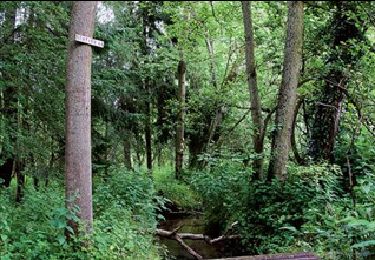
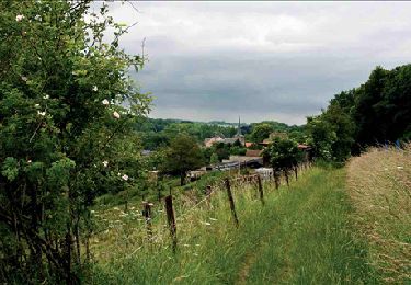
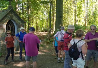
Tocht Elektrische fiets Genepiën - Genappe Ronquières Nivelles Genappe  - Photo

Genappe Ronquières Nivelles Genappe

 phitacq
phitacq

Gebruiker

© OpenStreetMap contributors
Lengte
Lengte
51 km
Max. hoogte
Max. hoogte
166 m
Positief hoogteverschil
453 m
Km-Effort
Km-Effort  
57 km
Min. hoogte
Min. hoogte
53 m
Negatief hoogteverschil
455 m
Boucle
Boucle
Ja
Datum van aanmaak :
2024-07-21 09:10:10.128
Laatste wijziging :
2024-07-21 20:02:51.08

(0 Bericht)

Elektrische fiets
Elektrische fiets
3h53
Moeilijkheid : Gemakkelijk

Scan deze QR-code om de tocht te openen in de SityTrail-applicatie

Gratisgps-wandelapplicatie

Logo SityTrail SityTrail

IGN / Geografische instituten

SityTrail uit de App Store downloaden SityTrail uit Google Play downloaden

Logo SityTrail SityTrail World

De wereld gaat voor u open

SityTrail uit de App Store downloaden SityTrail uit Google Play downloaden SityTrail op Huawei AppGallery downloaden

Over ons

Tocht Elektrische fiets van 51 km beschikbaar op Wallonië, Waals-Brabant, Genepiën. Deze tocht wordt voorgesteld door phitacq.

Beschrijving

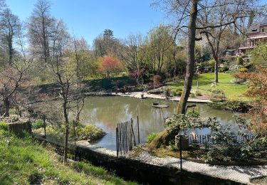
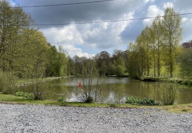
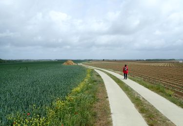
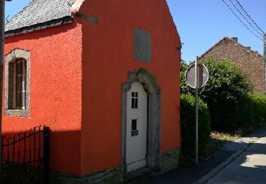
Cette boucle, au départ de Genappe, permet de rejoindre la plan incliné de Ronquières en passant par l'ancien canal de Charleroi à Bruxelles.  En presque totalité sur des Ravel ou des routes de campagne asphaltées et peu fréquentées.
Petite étape possible pour se désaltérer dans un charmant établissement près du pont de Ronquières.

Hoogteprofiel

Plaatsbepaling

Land:
Belgium
Regio :
Wallonië
Departement/Provincie :
Waals-Brabant
Gemeente :
Genepiën
Locatie:
Genappe
Vertrek:(UTM)
602582 ; 5607266 (31U) N.

Wandeltochten in de omgeving

Tocht Stappen Genepiën - RB-Bw-09 Raccourci 1 & 2 - Autour de la jeune Dyle et de ses affluents - Photo
Stappen
PRO

Stappen

Moeilijk
(11)
Genepiën, Wallonië, Waals-Brabant, Belgium
9,7 km | 12,5 km-effort
2h 50min
Ja
Tocht Stappen Genepiën - RB-Bw-09 Raccourci 1 - Autour de la jeune Dyle et de ses affluents - Photo
Stappen
PRO

Stappen

Moeilijk
(11)
Genepiën, Wallonië, Waals-Brabant, Belgium
13,2 km | 16,9 km-effort
3h 49min
Ja
Tocht Stappen Genepiën - RB-Bw-09 - Autour de la jeune Dyle et de ses affluents - Photo
Stappen
PRO

Stappen

Medium
(9)
Genepiën, Wallonië, Waals-Brabant, Belgium
22 km | 28 km-effort
5h 59min
Ja
Tocht Stappen Genepiën - Genappe - Circuit Natura 2000, des sites qui valent le détour ! - Bw03 - Photo
Stappen
GUIDE+

Stappen

Medium
(6)
Genepiën, Wallonië, Waals-Brabant, Belgium
7,9 km | 9,7 km-effort
2h 6min
Ja
Tocht Stappen Villers-la-Ville - Bérines - Photo
Stappen
GUIDE
MicDul

Stappen

Gemakkelijk
(1)
Villers-la-Ville, Wallonië, Waals-Brabant, Belgium
6,4 km | 7,5 km-effort
1h 41min
Ja
Tocht Stappen Villers-la-Ville - BE-Villers-la-Ville - Le Bois Pigeolet et le Châtelet - VLV 7  - Photo
Stappen
GUIDE
MicDul

Stappen

Gemakkelijk
(1)
Villers-la-Ville, Wallonië, Waals-Brabant, Belgium
6,6 km | 7,8 km-effort
1h 42min
Ja
Tocht Te voet Genepiën - #200523 - Loncée, Vallée de la Haute Dyle et Houtain*** - Photo
Te voet
Randos Ouvertes

Te voet

Heel gemakkelijk
(2)
Genepiën, Wallonië, Waals-Brabant, Belgium
8,2 km | 9,3 km-effort
2h 0min
Ja
Tocht Stappen Genepiën - promenade de marraine Falise. - Photo
Stappen
fizz1212

Stappen

Gemakkelijk
(2)
Genepiën, Wallonië, Waals-Brabant, Belgium
4 km | 4,7 km-effort
1h 11min
Ja
Tocht Stappen Villers-la-Ville - VLVille_0521 - Photo
Stappen
calofrancis

Stappen

Medium
(1)
Villers-la-Ville, Wallonië, Waals-Brabant, Belgium
11,3 km | 13,5 km-effort
3h 26min
Ja


Sluiten
Mijn abonnementen