


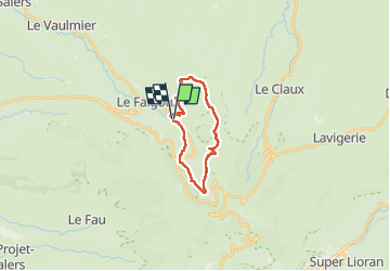


33 km | 54 km-effort

Gebruiker


Gratisgps-wandelapplicatie
 SityTrail
IGN / Geografische instituten
SityTrail World
De wereld gaat voor u open
Tocht Stappen van 18,8 km beschikbaar op Auvergne-Rhône-Alpes, Cantal, Le Falgoux. Deze tocht wordt voorgesteld door Jean Yves Erard.
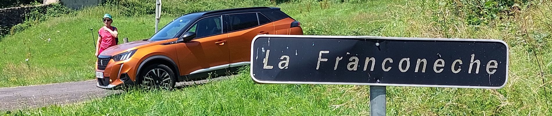
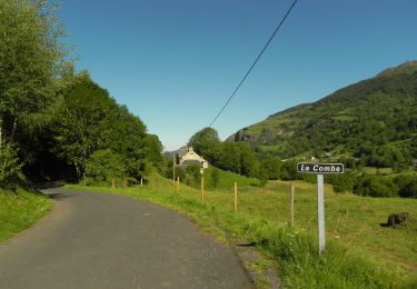
début sous la pluie. belle montée jusqu' au Luchard sous le soleil
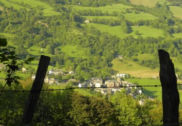
redescente par les sous- bois du bois Mary ( chemin des italiens)
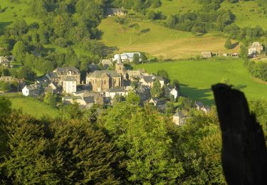
on finit en suivant le Mars depuis le pont des eaux


46 fotos in totaal. Klik op een foto om ze allemaal in de galerij weer te geven.
Andere activiteiten
Te voet

Te voet

Te voet
Te voet
Te voet
Te voet

Stappen
Stappen
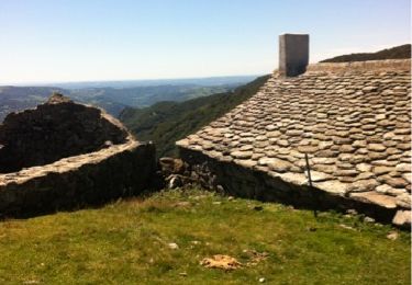
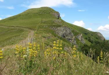
très belle randonnée. depuis Luchard des vues à couper le souffle