


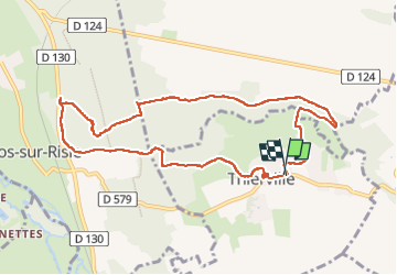

23 km | 29 km-effort

Gebruiker


Gratisgps-wandelapplicatie
 SityTrail
IGN / Geografische instituten
SityTrail World
De wereld gaat voor u open
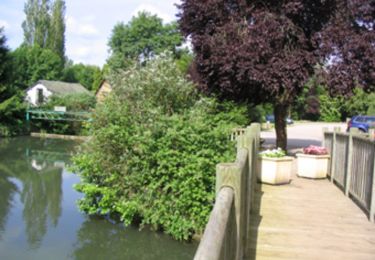
Tocht Stappen van 9,9 km beschikbaar op Normandië, Eure, Thierville. Deze tocht wordt voorgesteld door MichelRando7656.
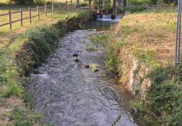
Beau parcours varié avec un passage aux "Sept Frères".
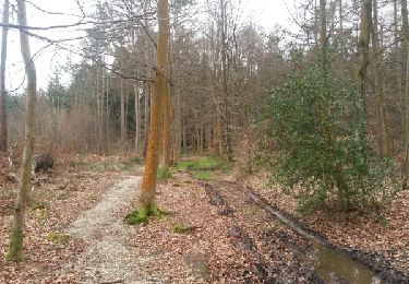
Dommage que 2 parties du circuit soient difficilement praticables.
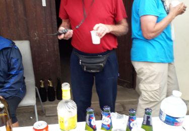
Parkings nombreux et esplanade avec tables de pique nique et un abri pour les jours de pluie.
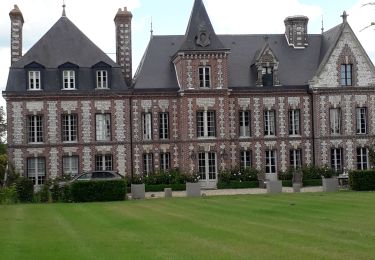
Belle église.


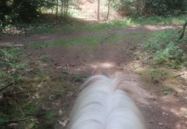
Paardrijden
Paardrijden
Stappen
Stappen
Stappen
Stappen
Stappen

Paard
Stappen