
suuntoapp-Hiking-2024-07-15T05-56-36Z

holtzv
Gebruiker GUIDE

Lengte
15 km

Max. hoogte
2791 m

Positief hoogteverschil
588 m

Km-Effort
24 km

Min. hoogte
2022 m

Negatief hoogteverschil
1082 m
Boucle
Neen
Datum van aanmaak :
2024-07-18 08:22:57.259
Laatste wijziging :
2024-07-18 08:26:00.19
5h33
Moeilijkheid : Medium

Gratisgps-wandelapplicatie
Over ons
Tocht Stappen van 15 km beschikbaar op Valais/Wallis, Sion, Savièse. Deze tocht wordt voorgesteld door holtzv.
Beschrijving
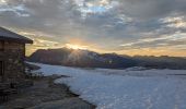
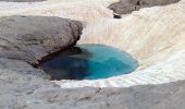
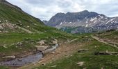
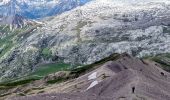
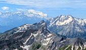
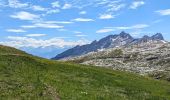
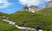
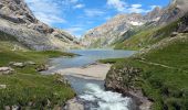
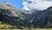
Marche Suisse Diablerets Jour 3/3
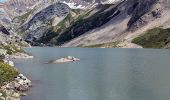
Col de Arpelistock puis descente vers le barage de Sanetschsee.
Descente ensuite vers Gsteig avec le téléphérique puis un bus pour revenir à la voiture aux Diablerets
Plaatsbepaling
Land:
Switzerland
Regio :
Valais/Wallis
Departement/Provincie :
Sion
Gemeente :
Savièse
Locatie:
Unknown
Vertrek:(Dec)
Vertrek:(UTM)
365079 ; 5130475 (32T) N.
Opmerkingen
Wandeltochten in de omgeving
suuntoapp-Hiking-2024-07-14T07-51-15Z


Stappen
Medium
Ormont-Dessus,
Waadland,
District d'Aigle,
Switzerland

12,6 km | 24 km-effort
5h 25min
Neen
25.08.20 Sanetsch


Noords wandelen
Heel gemakkelijk
Savièse,
Valais/Wallis,
Sion,
Switzerland

13,3 km | 20 km-effort
5h 32min
Neen

st_bg_antannes


Stappen
Heel gemakkelijk
Savièse,
Valais/Wallis,
Sion,
Switzerland

8,9 km | 19,1 km-effort
Onbekend
Neen

Glacier3000 - Sanetsch


Stappen
Heel gemakkelijk
Ormont-Dessus,
Waadland,
District d'Aigle,
Switzerland

19,8 km | 43 km-effort
Onbekend
Neen

st_koreatv08_07


Stappen
Heel gemakkelijk
Savièse,
Valais/Wallis,
Sion,
Switzerland

4,5 km | 8,9 km-effort
1h 37min
Neen

huetten_02


Stappen
Heel gemakkelijk
Conthey,
Valais/Wallis,
Conthey,
Switzerland

50 km | 102 km-effort
16h 52min
Ja

w10_24_diable


Stappen
Heel gemakkelijk
Ormont-Dessus,
Waadland,
District d'Aigle,
Switzerland

12,9 km | 17,3 km-effort
3h 38min
Neen

Trajet du 29.10.21


Stappen
Zeer moeilijk
Conthey,
Valais/Wallis,
Conthey,
Switzerland

19,5 km | 38 km-effort
8h 42min
Ja

Lac Forcla


Stappen
Medium
Conthey,
Valais/Wallis,
Conthey,
Switzerland

16,8 km | 33 km-effort
8h 1min
Ja


 SityTrail


